Distance from Gumaca to Pangil
Distance between Gumaca and Pangil is 87 kilometers (54 miles).
Driving distance from Gumaca to Pangil is 131 kilometers (81 miles).
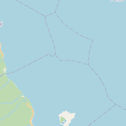
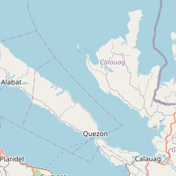
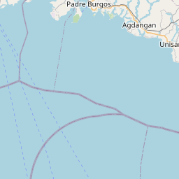
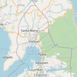
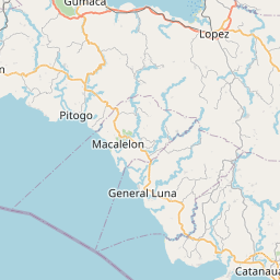
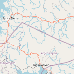
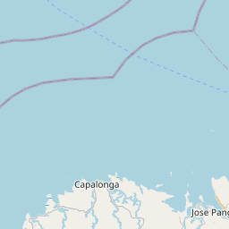
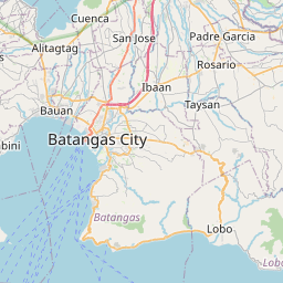
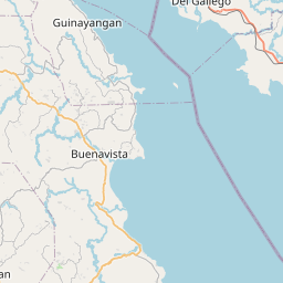
Distance Map Between Gumaca and Pangil
Gumaca, Calamba, Philippines ↔ Pangil, Calamba, Philippines = 54 miles = 87 km.


How far is it between Gumaca and Pangil
Gumaca is located in Philippines with (13.921,122.1002) coordinates and Pangil is located in Philippines with (14.4008,121.4685) coordinates. The calculated flying distance from Gumaca to Pangil is equal to 54 miles which is equal to 87 km.
If you want to go by car, the driving distance between Gumaca and Pangil is 131.08 km. If you ride your car with an average speed of 112 kilometers/hour (70 miles/h), travel time will be 01 hours 10 minutes. Please check the avg. speed travel time table on the right for various options.
Difference between fly and go by a car is 44 km.
| City/Place | Latitude and Longitude | GPS Coordinates |
|---|---|---|
| Gumaca | 13.921, 122.1002 | 13° 55´ 15.6000'' N 122° 6´ 0.7200'' E |
| Pangil | 14.4008, 121.4685 | 14° 24´ 2.8800'' N 121° 28´ 6.6000'' E |
Estimated Travel Time Between Gumaca and Pangil
| Average Speed | Travel Time |
|---|---|
| 30 mph (48 km/h) | 02 hours 43 minutes |
| 40 mph (64 km/h) | 02 hours 02 minutes |
| 50 mph (80 km/h) | 01 hours 38 minutes |
| 60 mph (97 km/h) | 01 hours 21 minutes |
| 70 mph (112 km/h) | 01 hours 10 minutes |
| 75 mph (120 km/h) | 01 hours 05 minutes |
Related Distances from Gumaca
| Cities | Distance |
|---|---|
| Gumaca to Lucena | 64 km |
| Gumaca to Lopez | 20 km |
| Gumaca to Pagbilao | 54 km |
| Gumaca to Lucban | 79 km |
| Gumaca to Tayabas | 66 km |
Related Distances to Pangil
| Cities | Distance |
|---|---|
| Bagong Pagasa to Pangil | 80 km |
| Lucena to Pangil | 71 km |
| Paete to Pangil | 5 km |
| Amadeo to Pangil | 96 km |
| Cavite City to Pangil | 118 km |