Distance from Guyong to Iba
Distance between Guyong and Iba is 121 kilometers (75 miles).
Driving distance from Guyong to Iba is 211 kilometers (131 miles).
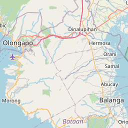
Distance Map Between Guyong and Iba
Guyong, , Philippines ↔ Iba, , Philippines = 75 miles = 121 km.


How far is it between Guyong and Iba
Guyong is located in Philippines with (14.8361,120.9784) coordinates and Iba is located in Philippines with (15.3276,119.978) coordinates. The calculated flying distance from Guyong to Iba is equal to 75 miles which is equal to 121 km.
If you want to go by car, the driving distance between Guyong and Iba is 210.88 km. If you ride your car with an average speed of 112 kilometers/hour (70 miles/h), travel time will be 01 hours 52 minutes. Please check the avg. speed travel time table on the right for various options.
Difference between fly and go by a car is 90 km.
| City/Place | Latitude and Longitude | GPS Coordinates |
|---|---|---|
| Guyong | 14.8361, 120.9784 | 14° 50´ 9.9600'' N 120° 58´ 42.3840'' E |
| Iba | 15.3276, 119.978 | 15° 19´ 39.3600'' N 119° 58´ 40.8000'' E |
Estimated Travel Time Between Guyong and Iba
| Average Speed | Travel Time |
|---|---|
| 30 mph (48 km/h) | 04 hours 23 minutes |
| 40 mph (64 km/h) | 03 hours 17 minutes |
| 50 mph (80 km/h) | 02 hours 38 minutes |
| 60 mph (97 km/h) | 02 hours 10 minutes |
| 70 mph (112 km/h) | 01 hours 52 minutes |
| 75 mph (120 km/h) | 01 hours 45 minutes |
Related Distances from Guyong
| Cities | Distance |
|---|---|
| Guyong to Norzagaray | 12 km |
| Guyong to Plaridel | 20 km |
| Guyong to Santa Cruz 5 | 238 km |
| Guyong to Marilao | 12 km |
| Guyong to Rizal | 166 km |
Related Distances to Iba
| Cities | Distance |
|---|---|
| Botolan to Iba | 7 km |
| Castillejos to Iba | 59 km |
| Angeles City to Iba | 154 km |
| Bulacan to Iba | 204 km |
| Hermosa to Iba | 108 km |