Distance from Gwadar to Loralai
Distance between Gwadar and Loralai is 849 kilometers (528 miles).
Driving distance from Gwadar to Loralai is 1312 kilometers (815 miles).
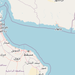
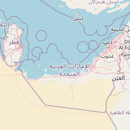
Distance Map Between Gwadar and Loralai
Gwadar, Quetta, Pakistan ↔ Loralai, Quetta, Pakistan = 528 miles = 849 km.


How far is it between Gwadar and Loralai
Gwadar is located in Pakistan with (25.1216,62.3254) coordinates and Loralai is located in Pakistan with (30.3705,68.598) coordinates. The calculated flying distance from Gwadar to Loralai is equal to 528 miles which is equal to 849 km.
If you want to go by car, the driving distance between Gwadar and Loralai is 1312.12 km. If you ride your car with an average speed of 112 kilometers/hour (70 miles/h), travel time will be 11 hours 42 minutes. Please check the avg. speed travel time table on the right for various options.
Difference between fly and go by a car is 463 km.
| City/Place | Latitude and Longitude | GPS Coordinates |
|---|---|---|
| Gwadar | 25.1216, 62.3254 | 25° 7´ 17.8680'' N 62° 19´ 31.4760'' E |
| Loralai | 30.3705, 68.598 | 30° 22´ 13.9080'' N 68° 35´ 52.7280'' E |
Estimated Travel Time Between Gwadar and Loralai
| Average Speed | Travel Time |
|---|---|
| 30 mph (48 km/h) | 27 hours 20 minutes |
| 40 mph (64 km/h) | 20 hours 30 minutes |
| 50 mph (80 km/h) | 16 hours 24 minutes |
| 60 mph (97 km/h) | 13 hours 31 minutes |
| 70 mph (112 km/h) | 11 hours 42 minutes |
| 75 mph (120 km/h) | 10 hours 56 minutes |
Related Distances from Gwadar
| Cities | Distance |
|---|---|
| Gwadar to Turbat | 234 km |
| Gwadar to Islamabad | 2011 km |
| Gwadar to Jiwani | 87 km |
| Gwadar to Pasni | 132 km |
| Gwadar to Uthal | 535 km |
Related Distances to Loralai
| Cities | Distance |
|---|---|
| Chaman to Loralai | 320 km |
| Kharan to Loralai | 506 km |
| Gwadar to Loralai | 1312 km |
| Kalat to Loralai | 354 km |
| Dera Bugti to Loralai | 353 km |