Distance from Gwangju to Koga
Distance between Gwangju and Koga is 1161 kilometers (721 miles).
Distance Map Between Gwangju and Koga
Gwangju, South Korea ↔ Koga, Mito-shi, Japan = 721 miles = 1161 km.
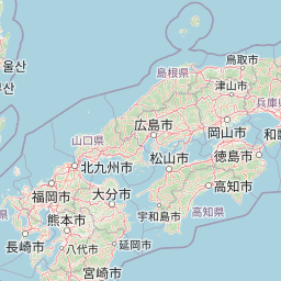
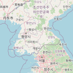
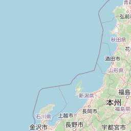
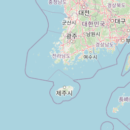
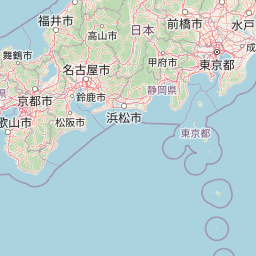
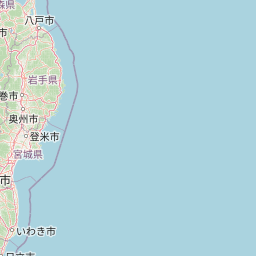
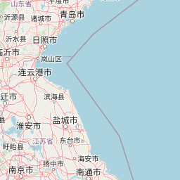

Leaflet | © OpenStreetMap
How far is it between Gwangju and Koga
Gwangju is located in South Korea with (35.1547,126.9156) coordinates and Koga is located in Japan with (36.1833,139.7167) coordinates. The calculated flying distance from Gwangju to Koga is equal to 721 miles which is equal to 1161 km.
| City/Place | Latitude and Longitude | GPS Coordinates |
|---|---|---|
| Gwangju | 35.1547, 126.9156 | 35° 9´ 16.9920'' N 126° 54´ 56.0160'' E |
| Koga | 36.1833, 139.7167 | 36° 10´ 59.9880'' N 139° 43´ 0.0120'' E |
Koga, Mito-shi, Japan
Related Distances to Koga
| Cities | Distance |
|---|---|
| Iwai to Koga 2 | 25 km |
| Ami to Koga 2 | 60 km |
| Hitachi to Koga 2 | 121 km |
| Omiya to Koga 2 | 110 km |
| Toride to Koga 2 | 53 km |