Distance from Gwangju to Yantai
Distance between Gwangju and Yantai is 554 kilometers (344 miles).
Distance Map Between Gwangju and Yantai
Gwangju, South Korea ↔ Yantai, Jinan, China = 344 miles = 554 km.
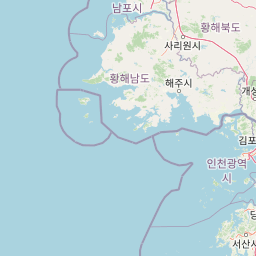
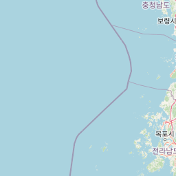
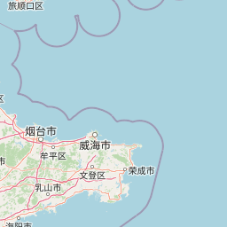
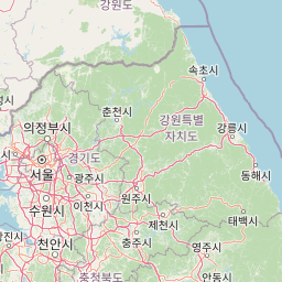
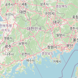
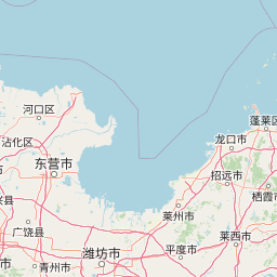
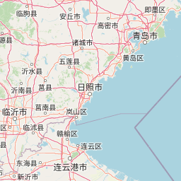

Leaflet | © OpenStreetMap
How far is it between Gwangju and Yantai
Gwangju is located in South Korea with (35.1547,126.9156) coordinates and Yantai is located in China with (37.4765,121.4408) coordinates. The calculated flying distance from Gwangju to Yantai is equal to 344 miles which is equal to 554 km.
| City/Place | Latitude and Longitude | GPS Coordinates |
|---|---|---|
| Gwangju | 35.1547, 126.9156 | 35° 9´ 16.9920'' N 126° 54´ 56.0160'' E |
| Yantai | 37.4765, 121.4408 | 37° 28´ 35.3640'' N 121° 26´ 26.9160'' E |
Yantai, Jinan, China
Related Distances to Yantai
| Cities | Distance |
|---|---|
| Qingdao to Yantai | 233 km |
| Weihai to Yantai | 66 km |
| Pingdu to Yantai | 195 km |
| Rizhao to Yantai | 330 km |
| Linyi to Yantai | 488 km |