Distance from Hamburg to Ostend
Distance between Hamburg and Ostend is 548 kilometers (340 miles).
Driving distance from Hamburg to Ostend is 670 kilometers (416 miles).
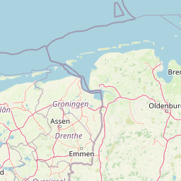
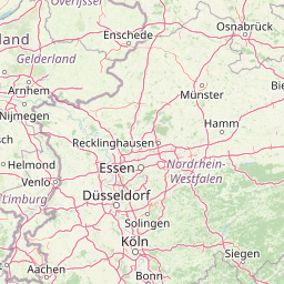
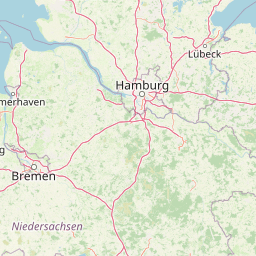
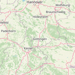
Distance Map Between Hamburg and Ostend
Hamburg, Germany ↔ Ostend, , Belgium = 340 miles = 548 km.


How far is it between Hamburg and Ostend
Hamburg is located in Germany with (53.5753,10.0153) coordinates and Ostend is located in Belgium with (51.2155,2.927) coordinates. The calculated flying distance from Hamburg to Ostend is equal to 340 miles which is equal to 548 km.
If you want to go by car, the driving distance between Hamburg and Ostend is 669.9 km. If you ride your car with an average speed of 112 kilometers/hour (70 miles/h), travel time will be 05 hours 58 minutes. Please check the avg. speed travel time table on the right for various options.
Difference between fly and go by a car is 122 km.
| City/Place | Latitude and Longitude | GPS Coordinates |
|---|---|---|
| Hamburg | 53.5753, 10.0153 | 53° 34´ 31.1520'' N 10° 0´ 55.2240'' E |
| Ostend | 51.2155, 2.927 | 51° 12´ 55.8360'' N 2° 55´ 37.2000'' E |
Estimated Travel Time Between Hamburg and Ostend
| Average Speed | Travel Time |
|---|---|
| 30 mph (48 km/h) | 13 hours 57 minutes |
| 40 mph (64 km/h) | 10 hours 28 minutes |
| 50 mph (80 km/h) | 08 hours 22 minutes |
| 60 mph (97 km/h) | 06 hours 54 minutes |
| 70 mph (112 km/h) | 05 hours 58 minutes |
| 75 mph (120 km/h) | 05 hours 34 minutes |
Related Distances from Hamburg
| Cities | Distance |
|---|---|
| Hamburg to Aalst | 621 km |
| Hamburg to Aalter | 631 km |
| Hamburg to Aarschot | 557 km |
| Hamburg to Andenne | 580 km |
| Hamburg to Ans | 536 km |
| Hamburg to Antwerpen | 552 km |
| Hamburg to Arlon | 645 km |
| Hamburg to Asse | 607 km |
| Hamburg to Ath | 670 km |
| Hamburg to Balen | 509 km |
Related Distances to Ostend
| Cities | Distance |
|---|---|
| Hamburg to Ostend | 670 km |
| Munich to Ostend | 846 km |
| Koeln to Ostend | 322 km |
| Berlin to Ostend | 840 km |