Distance from Hamme to Zemst
Distance between Hamme and Zemst is 26 kilometers (16 miles).
Driving distance from Hamme to Zemst is 55 kilometers (34 miles).
Distance Map Between Hamme and Zemst
Hamme, , Belgium ↔ Zemst, , Belgium = 16 miles = 26 km.
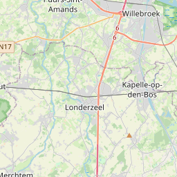
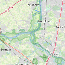
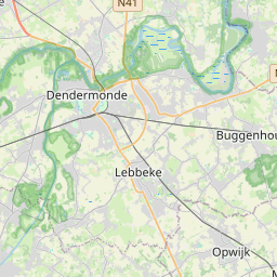
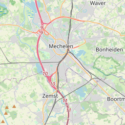
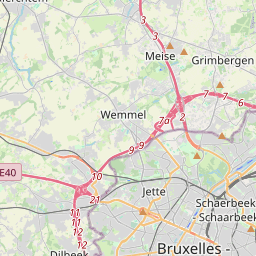
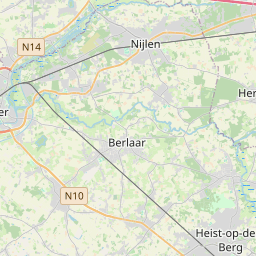
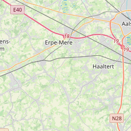
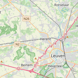

Leaflet | © OpenStreetMap
How far is it between Hamme and Zemst
Hamme is located in Belgium with (51.0982,4.1371) coordinates and Zemst is located in Belgium with (50.9832,4.4608) coordinates. The calculated flying distance from Hamme to Zemst is equal to 16 miles which is equal to 26 km.
If you want to go by car, the driving distance between Hamme and Zemst is 55.34 km. If you ride your car with an average speed of 112 kilometers/hour (70 miles/h), travel time will be 00 hours 29 minutes. Please check the avg. speed travel time table on the right for various options.
Difference between fly and go by a car is 29 km.
| City/Place | Latitude and Longitude | GPS Coordinates |
|---|---|---|
| Hamme | 51.0982, 4.1371 | 51° 5´ 53.5920'' N 4° 8´ 13.3800'' E |
| Zemst | 50.9832, 4.4608 | 50° 58´ 59.4480'' N 4° 27´ 38.8440'' E |
Estimated Travel Time Between Hamme and Zemst
| Average Speed | Travel Time |
|---|---|
| 30 mph (48 km/h) | 01 hours 09 minutes |
| 40 mph (64 km/h) | 00 hours 51 minutes |
| 50 mph (80 km/h) | 00 hours 41 minutes |
| 60 mph (97 km/h) | 00 hours 34 minutes |
| 70 mph (112 km/h) | 00 hours 29 minutes |
| 75 mph (120 km/h) | 00 hours 27 minutes |
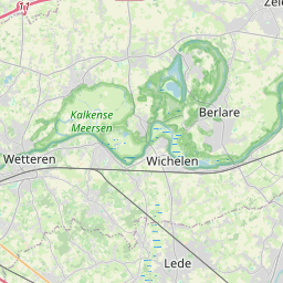
Hamme, , Belgium
Related Distances from Hamme
| Cities | Distance |
|---|---|
| Hamme to Wervik | 100 km |
| Hamme to Ronse | 74 km |
| Hamme to Oudenaarde | 61 km |
| Hamme to Kortrijk | 81 km |
| Hamme to Maasmechelen | 130 km |
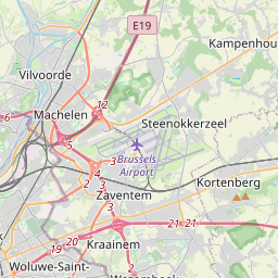
Zemst, , Belgium
Related Distances to Zemst
| Cities | Distance |
|---|---|
| Turnhout to Zemst | 72 km |
| Overijse to Zemst | 33 km |
| Londerzeel to Zemst | 17 km |
| Temse to Zemst | 30 km |
| Ostend to Zemst | 131 km |