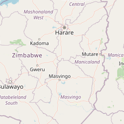
Distance from Harare to Pemba
Distance between Harare and Pemba is 1149 kilometers (714 miles).
Driving distance from Harare to Pemba is 1770 kilometers (1100 miles).
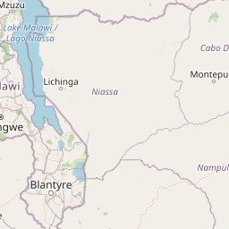
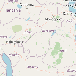
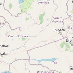
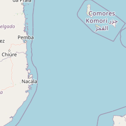
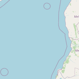
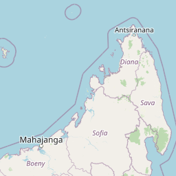
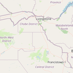
Distance Map Between Harare and Pemba
Harare, Zimbabwe ↔ Pemba, Mozambique = 714 miles = 1149 km.

How far is it between Harare and Pemba
Harare is located in Zimbabwe with (-17.8277,31.0534) coordinates and Pemba is located in Mozambique with (-12.974,40.5178) coordinates. The calculated flying distance from Harare to Pemba is equal to 714 miles which is equal to 1149 km.
If you want to go by car, the driving distance between Harare and Pemba is 1769.79 km. If you ride your car with an average speed of 112 kilometers/hour (70 miles/h), travel time will be 15 hours 48 minutes. Please check the avg. speed travel time table on the right for various options.
Difference between fly and go by a car is 621 km.
| City/Place | Latitude and Longitude | GPS Coordinates |
|---|---|---|
| Harare | -17.8277, 31.0534 | 17° 49´ 39.7920'' S 31° 3´ 12.1320'' E |
| Pemba | -12.974, 40.5178 | 12° 58´ 26.2200'' S 40° 31´ 3.9000'' E |
Estimated Travel Time Between Harare and Pemba
| Average Speed | Travel Time |
|---|---|
| 30 mph (48 km/h) | 36 hours 52 minutes |
| 40 mph (64 km/h) | 27 hours 39 minutes |
| 50 mph (80 km/h) | 22 hours 07 minutes |
| 60 mph (97 km/h) | 18 hours 14 minutes |
| 70 mph (112 km/h) | 15 hours 48 minutes |
| 75 mph (120 km/h) | 14 hours 44 minutes |
Related Distances from Harare
| Cities | Distance |
|---|---|
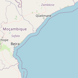
| Harare to Beira | 551 km |
| Harare to Maputo | 1283 km |
| Harare to Tete | 378 km |
| Harare to Chimoio | 353 km |
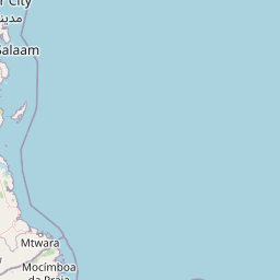
| Harare to Pemba | 1770 km |
Related Distances to Pemba
| Cities | Distance |
|---|---|
| Harare to Pemba | 1770 km |
| Bulawayo to Pemba | 2082 km |