Distance from Hauppauge to Auburn
Distance between Hauppauge and Auburn is 364 kilometers (226 miles).
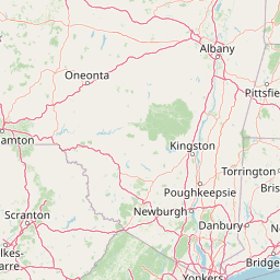
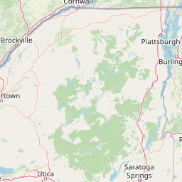
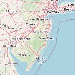
Distance Map Between Hauppauge and Auburn
Hauppauge, Albany, United States ↔ Auburn, Albany, United States = 226 miles = 364 km.


Leaflet | © OpenStreetMap
How far is it between Hauppauge and Auburn
Hauppauge is located in United States with (40.8257,-73.2026) coordinates and Auburn is located in United States with (42.9317,-76.5661) coordinates. The calculated flying distance from Hauppauge to Auburn is equal to 226 miles which is equal to 364 km.
| City/Place | Latitude and Longitude | GPS Coordinates |
|---|---|---|
| Hauppauge | 40.8257, -73.2026 | 40° 49´ 32.3400'' N 73° 12´ 9.3960'' W |
| Auburn | 42.9317, -76.5661 | 42° 55´ 54.2280'' N 76° 33´ 57.7800'' W |
Hauppauge, Albany, United States
Related Distances from Hauppauge
| Cities | Distance |
|---|---|
| Hauppauge to Commack | 9 km |
| Hauppauge to Deer Park 2 | 17 km |
| Hauppauge to Dix Hills | 13 km |
| Hauppauge to The Bronx | 68 km |
| Hauppauge to Brooklyn | 78 km |
Auburn, Albany, United States
Related Distances to Auburn
| Cities | Distance |
|---|---|
| New York City to Auburn 3 | 405 km |
| Troy 2 to Auburn 3 | 286 km |
| Syracuse to Auburn 3 | 46 km |
| Eggertsville to Auburn 3 | 194 km |
| Manhattan to Auburn 3 | 419 km |