Distance from Hazleton to Drexel Hill
Distance between Hazleton and Drexel Hill is 126 kilometers (79 miles).
Driving distance from Hazleton to Drexel Hill is 152 kilometers (94 miles).
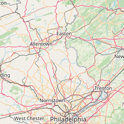
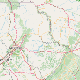
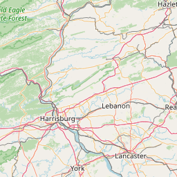
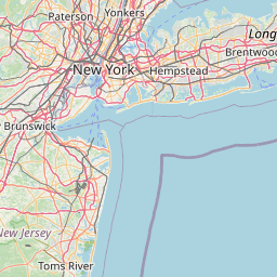
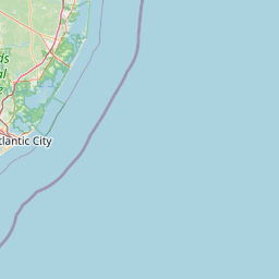
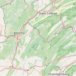
Distance Map Between Hazleton and Drexel Hill
Hazleton, Harrisburg, United States ↔ Drexel Hill, Harrisburg, United States = 79 miles = 126 km.


How far is it between Hazleton and Drexel Hill
Hazleton is located in United States with (40.9584,-75.9747) coordinates and Drexel Hill is located in United States with (39.9471,-75.2921) coordinates. The calculated flying distance from Hazleton to Drexel Hill is equal to 79 miles which is equal to 126 km.
If you want to go by car, the driving distance between Hazleton and Drexel Hill is 151.84 km. If you ride your car with an average speed of 112 kilometers/hour (70 miles/h), travel time will be 01 hours 21 minutes. Please check the avg. speed travel time table on the right for various options.
Difference between fly and go by a car is 26 km.
| City/Place | Latitude and Longitude | GPS Coordinates |
|---|---|---|
| Hazleton | 40.9584, -75.9747 | 40° 57´ 30.3120'' N 75° 58´ 28.7400'' W |
| Drexel Hill | 39.9471, -75.2921 | 39° 56´ 49.4160'' N 75° 17´ 31.6680'' W |
Estimated Travel Time Between Hazleton and Drexel Hill
| Average Speed | Travel Time |
|---|---|
| 30 mph (48 km/h) | 03 hours 09 minutes |
| 40 mph (64 km/h) | 02 hours 22 minutes |
| 50 mph (80 km/h) | 01 hours 53 minutes |
| 60 mph (97 km/h) | 01 hours 33 minutes |
| 70 mph (112 km/h) | 01 hours 21 minutes |
| 75 mph (120 km/h) | 01 hours 15 minutes |
Related Distances from Hazleton
| Cities | Distance |
|---|---|
| Hazleton to Philadelphia | 156 km |
| Hazleton to Allentown | 75 km |
| Hazleton to Chambersburg | 210 km |
| Hazleton to Easton | 100 km |
| Hazleton to Bethlehem 2 | 88 km |
Related Distances to Drexel Hill
| Cities | Distance |
|---|---|
| King Of Prussia to Drexel Hill | 27 km |
| Pittsburgh to Drexel Hill | 485 km |
| Lansdale to Drexel Hill | 50 km |
| Penn Hills to Drexel Hill | 478 km |
| Willow Grove to Drexel Hill | 43 km |