Distance from Hazleton to York
Distance between Hazleton and York is 128 kilometers (79 miles).
Driving distance from Hazleton to York is 171 kilometers (106 miles).
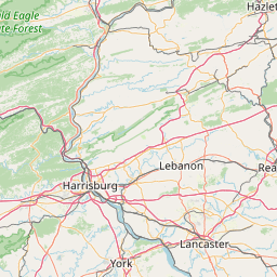
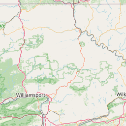
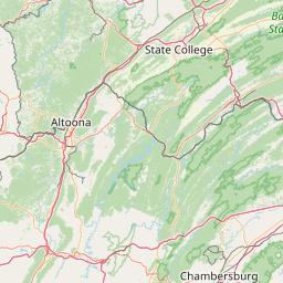
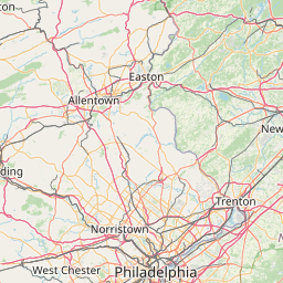
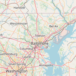
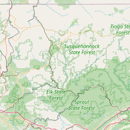
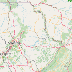
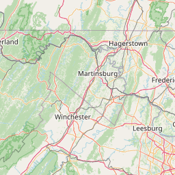
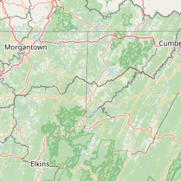
Distance Map Between Hazleton and York
Hazleton, Harrisburg, United States ↔ York, Harrisburg, United States = 79 miles = 128 km.


How far is it between Hazleton and York
Hazleton is located in United States with (40.9584,-75.9747) coordinates and York is located in United States with (39.9626,-76.7277) coordinates. The calculated flying distance from Hazleton to York is equal to 79 miles which is equal to 128 km.
If you want to go by car, the driving distance between Hazleton and York is 171.16 km. If you ride your car with an average speed of 112 kilometers/hour (70 miles/h), travel time will be 01 hours 31 minutes. Please check the avg. speed travel time table on the right for various options.
Difference between fly and go by a car is 43 km.
| City/Place | Latitude and Longitude | GPS Coordinates |
|---|---|---|
| Hazleton | 40.9584, -75.9747 | 40° 57´ 30.3120'' N 75° 58´ 28.7400'' W |
| York | 39.9626, -76.7277 | 39° 57´ 45.3600'' N 76° 43´ 39.8640'' W |
Estimated Travel Time Between Hazleton and York
| Average Speed | Travel Time |
|---|---|
| 30 mph (48 km/h) | 03 hours 33 minutes |
| 40 mph (64 km/h) | 02 hours 40 minutes |
| 50 mph (80 km/h) | 02 hours 08 minutes |
| 60 mph (97 km/h) | 01 hours 45 minutes |
| 70 mph (112 km/h) | 01 hours 31 minutes |
| 75 mph (120 km/h) | 01 hours 25 minutes |
Related Distances from Hazleton
| Cities | Distance |
|---|---|
| Hazleton to Philadelphia | 156 km |
| Hazleton to Allentown | 75 km |
| Hazleton to Chambersburg | 210 km |
| Hazleton to Easton | 100 km |
| Hazleton to Bethlehem 2 | 88 km |
Related Distances to York
| Cities | Distance |
|---|---|
| Easton to York 2 | 170 km |
| Lancaster 2 to York 2 | 44 km |
| Pittsburgh to York 2 | 356 km |
| Reading 2 to York 2 | 91 km |
| Lebanon 2 to York 2 | 87 km |