Distance from Hoboken to Tielt
Distance between Hoboken and Tielt is 74 kilometers (46 miles).
Driving distance from Hoboken to Tielt is 93 kilometers (58 miles).
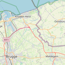
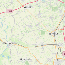
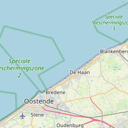
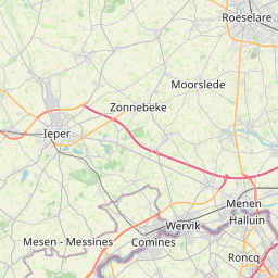
Distance Map Between Hoboken and Tielt
Hoboken, , Belgium ↔ Tielt, , Belgium = 46 miles = 74 km.


How far is it between Hoboken and Tielt
Hoboken is located in Belgium with (51.1761,4.3484) coordinates and Tielt is located in Belgium with (50.9993,3.3271) coordinates. The calculated flying distance from Hoboken to Tielt is equal to 46 miles which is equal to 74 km.
If you want to go by car, the driving distance between Hoboken and Tielt is 93.41 km. If you ride your car with an average speed of 112 kilometers/hour (70 miles/h), travel time will be 00 hours 50 minutes. Please check the avg. speed travel time table on the right for various options.
Difference between fly and go by a car is 19 km.
| City/Place | Latitude and Longitude | GPS Coordinates |
|---|---|---|
| Hoboken | 51.1761, 4.3484 | 51° 10´ 33.9960'' N 4° 20´ 54.3840'' E |
| Tielt | 50.9993, 3.3271 | 50° 59´ 57.5160'' N 3° 19´ 37.4520'' E |
Estimated Travel Time Between Hoboken and Tielt
| Average Speed | Travel Time |
|---|---|
| 30 mph (48 km/h) | 01 hours 56 minutes |
| 40 mph (64 km/h) | 01 hours 27 minutes |
| 50 mph (80 km/h) | 01 hours 10 minutes |
| 60 mph (97 km/h) | 00 hours 57 minutes |
| 70 mph (112 km/h) | 00 hours 50 minutes |
| 75 mph (120 km/h) | 00 hours 46 minutes |
Related Distances from Hoboken
| Cities | Distance |
|---|---|
| Hoboken 2 to Hoogstraten | 46 km |
| Hoboken 2 to Houthalen | 88 km |
| Hoboken 2 to Ieper | 131 km |
| Hoboken 2 to Izegem | 107 km |
| Hoboken 2 to Kalmthout | 39 km |
| Hoboken 2 to Kapellen | 26 km |
| Hoboken 2 to Kasterlee | 56 km |
| Hoboken 2 to Knokke Heist | 96 km |
| Hoboken 2 to Koksijde | 145 km |
| Hoboken 2 to Kontich | 14 km |
Related Distances to Tielt
| Cities | Distance |
|---|---|
| Ranst to Tielt | 105 km |
| Brugge to Tielt | 36 km |
| Kortrijk to Tielt | 23 km |
| Evergem to Tielt | 41 km |
| Bilzen to Tielt | 183 km |
| Roeselare to Tielt | 17 km |
| Leuven to Tielt | 113 km |
| Aalter to Tielt | 15 km |
| Mechelen to Tielt | 106 km |
| Brasschaat to Tielt | 106 km |