Distance from Hoboken to Zemst
Distance between Hoboken and Zemst is 23 kilometers (14 miles).
Driving distance from Hoboken to Zemst is 30 kilometers (19 miles).
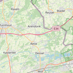
Distance Map Between Hoboken and Zemst
Hoboken, , Belgium ↔ Zemst, , Belgium = 14 miles = 23 km.


How far is it between Hoboken and Zemst
Hoboken is located in Belgium with (51.1761,4.3484) coordinates and Zemst is located in Belgium with (50.9832,4.4608) coordinates. The calculated flying distance from Hoboken to Zemst is equal to 14 miles which is equal to 23 km.
If you want to go by car, the driving distance between Hoboken and Zemst is 30.42 km. If you ride your car with an average speed of 112 kilometers/hour (70 miles/h), travel time will be 00 hours 16 minutes. Please check the avg. speed travel time table on the right for various options.
Difference between fly and go by a car is 7 km.
| City/Place | Latitude and Longitude | GPS Coordinates |
|---|---|---|
| Hoboken | 51.1761, 4.3484 | 51° 10´ 33.9960'' N 4° 20´ 54.3840'' E |
| Zemst | 50.9832, 4.4608 | 50° 58´ 59.4480'' N 4° 27´ 38.8440'' E |
Estimated Travel Time Between Hoboken and Zemst
| Average Speed | Travel Time |
|---|---|
| 30 mph (48 km/h) | 00 hours 38 minutes |
| 40 mph (64 km/h) | 00 hours 28 minutes |
| 50 mph (80 km/h) | 00 hours 22 minutes |
| 60 mph (97 km/h) | 00 hours 18 minutes |
| 70 mph (112 km/h) | 00 hours 16 minutes |
| 75 mph (120 km/h) | 00 hours 15 minutes |
Related Distances from Hoboken
| Cities | Distance |
|---|---|
| Hoboken 2 to Leuven | 64 km |
| Hoboken 2 to Knokke Heist | 96 km |
| Hoboken 2 to Sint Katelijne Waver | 30 km |
| Hoboken 2 to Mechelen | 25 km |
| Hoboken 2 to Zaventem | 43 km |
Related Distances to Zemst
| Cities | Distance |
|---|---|
| Turnhout to Zemst | 72 km |
| Overijse to Zemst | 33 km |
| Londerzeel to Zemst | 17 km |
| Temse to Zemst | 30 km |
| Ostend to Zemst | 131 km |