Distance from Hoima to Masindi
Distance between Hoima and Masindi is 48 kilometers (30 miles).
Driving distance from Hoima to Masindi is 55 kilometers (34 miles).
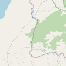
Distance Map Between Hoima and Masindi
Hoima, Mbarara, Uganda ↔ Masindi, Mbarara, Uganda = 30 miles = 48 km.


How far is it between Hoima and Masindi
Hoima is located in Uganda with (1.4331,31.3524) coordinates and Masindi is located in Uganda with (1.6744,31.715) coordinates. The calculated flying distance from Hoima to Masindi is equal to 30 miles which is equal to 48 km.
If you want to go by car, the driving distance between Hoima and Masindi is 54.92 km. If you ride your car with an average speed of 112 kilometers/hour (70 miles/h), travel time will be 00 hours 29 minutes. Please check the avg. speed travel time table on the right for various options.
Difference between fly and go by a car is 7 km.
| City/Place | Latitude and Longitude | GPS Coordinates |
|---|---|---|
| Hoima | 1.4331, 31.3524 | 1° 25´ 59.3040'' N 31° 21´ 8.6760'' E |
| Masindi | 1.6744, 31.715 | 1° 40´ 27.9840'' N 31° 42´ 54.0000'' E |
Estimated Travel Time Between Hoima and Masindi
| Average Speed | Travel Time |
|---|---|
| 30 mph (48 km/h) | 01 hours 08 minutes |
| 40 mph (64 km/h) | 00 hours 51 minutes |
| 50 mph (80 km/h) | 00 hours 41 minutes |
| 60 mph (97 km/h) | 00 hours 33 minutes |
| 70 mph (112 km/h) | 00 hours 29 minutes |
| 75 mph (120 km/h) | 00 hours 27 minutes |
Related Distances from Hoima
| Cities | Distance |
|---|---|
| Hoima to Masindi | 55 km |
| Hoima to Kyenjojo | 149 km |
| Hoima to Kasese | 270 km |
| Hoima to Kabale | 448 km |
| Hoima to Kamwenge | 223 km |
Related Distances to Masindi
| Cities | Distance |
|---|---|
| Kampala to Masindi | 213 km |
| Hoima to Masindi | 55 km |
| Fort Portal to Masindi | 251 km |
| Kyenjojo to Masindi | 219 km |
| Kasese to Masindi | 324 km |