Distance from Holt to Inkster
Distance between Holt and Inkster is 106 kilometers (66 miles).
Driving distance from Holt to Inkster is 132 kilometers (82 miles).
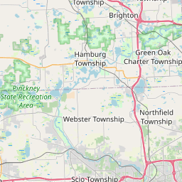
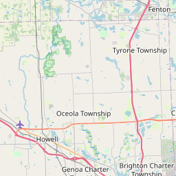
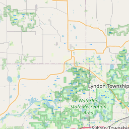
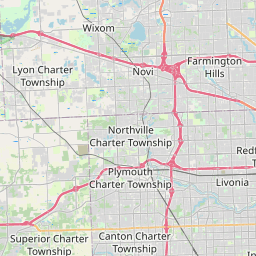
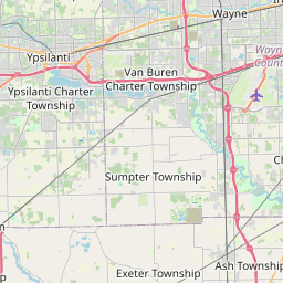
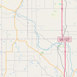
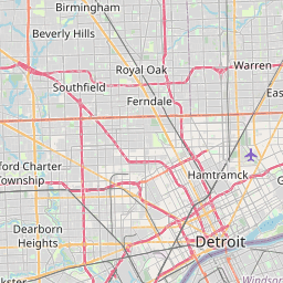
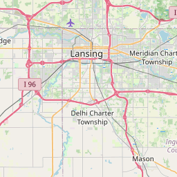
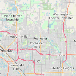
Distance Map Between Holt and Inkster
Holt, Lansing, United States ↔ Inkster, Lansing, United States = 66 miles = 106 km.
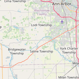
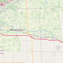
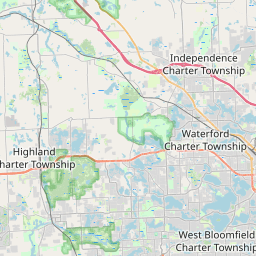
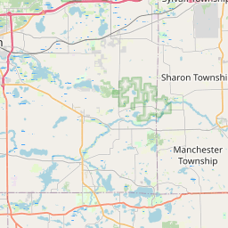

How far is it between Holt and Inkster
Holt is located in United States with (42.6406,-84.5153) coordinates and Inkster is located in United States with (42.2942,-83.3099) coordinates. The calculated flying distance from Holt to Inkster is equal to 66 miles which is equal to 106 km.
If you want to go by car, the driving distance between Holt and Inkster is 131.75 km. If you ride your car with an average speed of 112 kilometers/hour (70 miles/h), travel time will be 01 hours 10 minutes. Please check the avg. speed travel time table on the right for various options.
Difference between fly and go by a car is 26 km.
| City/Place | Latitude and Longitude | GPS Coordinates |
|---|---|---|
| Holt | 42.6406, -84.5153 | 42° 38´ 26.1240'' N 84° 30´ 54.9000'' W |
| Inkster | 42.2942, -83.3099 | 42° 17´ 39.1200'' N 83° 18´ 35.7480'' W |
Estimated Travel Time Between Holt and Inkster
| Average Speed | Travel Time |
|---|---|
| 30 mph (48 km/h) | 02 hours 44 minutes |
| 40 mph (64 km/h) | 02 hours 03 minutes |
| 50 mph (80 km/h) | 01 hours 38 minutes |
| 60 mph (97 km/h) | 01 hours 21 minutes |
| 70 mph (112 km/h) | 01 hours 10 minutes |
| 75 mph (120 km/h) | 01 hours 05 minutes |
Related Distances from Holt
| Cities | Distance |
|---|---|
| Holt to East Lansing | 18 km |
| Holt to Bay City | 172 km |
| Holt to Detroit | 143 km |
| Holt to Ann Arbor | 103 km |
| Holt to Battle Creek | 94 km |
Related Distances to Inkster
| Cities | Distance |
|---|---|
| Kalamazoo to Inkster | 205 km |
| Farmington Hills to Inkster | 25 km |
| Troy to Inkster | 62 km |
| Canton to Inkster | 16 km |
| Ypsilanti to Inkster | 35 km |