Distance from Holyoke to Auburn
Distance between Holyoke and Auburn is 64 kilometers (40 miles).
Driving distance from Holyoke to Auburn is 75 kilometers (46 miles).
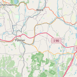
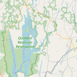
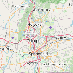
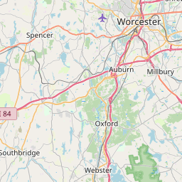
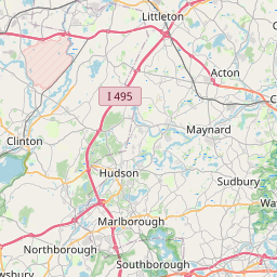
Distance Map Between Holyoke and Auburn
Holyoke, Boston, United States ↔ Auburn, Boston, United States = 40 miles = 64 km.


How far is it between Holyoke and Auburn
Holyoke is located in United States with (42.2043,-72.6162) coordinates and Auburn is located in United States with (42.1945,-71.8356) coordinates. The calculated flying distance from Holyoke to Auburn is equal to 40 miles which is equal to 64 km.
If you want to go by car, the driving distance between Holyoke and Auburn is 74.78 km. If you ride your car with an average speed of 112 kilometers/hour (70 miles/h), travel time will be 00 hours 40 minutes. Please check the avg. speed travel time table on the right for various options.
Difference between fly and go by a car is 11 km.
| City/Place | Latitude and Longitude | GPS Coordinates |
|---|---|---|
| Holyoke | 42.2043, -72.6162 | 42° 12´ 15.3360'' N 72° 36´ 58.3200'' W |
| Auburn | 42.1945, -71.8356 | 42° 11´ 40.3440'' N 71° 50´ 8.2680'' W |
Estimated Travel Time Between Holyoke and Auburn
| Average Speed | Travel Time |
|---|---|
| 30 mph (48 km/h) | 01 hours 33 minutes |
| 40 mph (64 km/h) | 01 hours 10 minutes |
| 50 mph (80 km/h) | 00 hours 56 minutes |
| 60 mph (97 km/h) | 00 hours 46 minutes |
| 70 mph (112 km/h) | 00 hours 40 minutes |
| 75 mph (120 km/h) | 00 hours 37 minutes |
Related Distances from Holyoke
| Cities | Distance |
|---|---|
| Holyoke to Chicopee | 7 km |
| Holyoke to Greenfield 3 | 49 km |
| Holyoke to Burlington 5 | 149 km |
| Holyoke to Billerica | 155 km |
| Holyoke to Attleboro | 149 km |
Related Distances to Auburn
| Cities | Distance |
|---|---|
| Chelsea 2 to Auburn 5 | 83 km |
| Worcester to Auburn 5 | 10 km |
| Quincy to Auburn 5 | 92 km |
| Milton 3 to Auburn 5 | 88 km |
| Cambridge 3 to Auburn 5 | 72 km |