Distance from Homestead to Mexico City
Distance between Homestead and Mexico City is 2028 kilometers (1260 miles).
Driving distance from Homestead to Mexico City is 3566 kilometers (2216 miles).
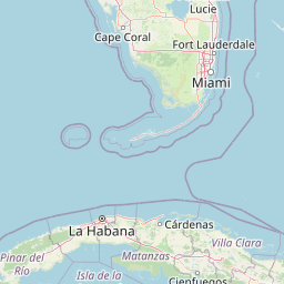
Distance Map Between Homestead and Mexico City
Homestead, Tallahassee, United States ↔ Mexico City, Mexico = 1260 miles = 2028 km.


How far is it between Homestead and Mexico City
Homestead is located in United States with (25.4687,-80.4776) coordinates and Mexico City is located in Mexico with (19.4285,-99.1277) coordinates. The calculated flying distance from Homestead to Mexico City is equal to 1260 miles which is equal to 2028 km.
If you want to go by car, the driving distance between Homestead and Mexico City is 3565.99 km. If you ride your car with an average speed of 112 kilometers/hour (70 miles/h), travel time will be 31 hours 50 minutes. Please check the avg. speed travel time table on the right for various options.
Difference between fly and go by a car is 1538 km.
| City/Place | Latitude and Longitude | GPS Coordinates |
|---|---|---|
| Homestead | 25.4687, -80.4776 | 25° 28´ 7.3920'' N 80° 28´ 39.2160'' W |
| Mexico City | 19.4285, -99.1277 | 19° 25´ 42.4920'' N 99° 7´ 39.5760'' W |
Estimated Travel Time Between Homestead and Mexico City
| Average Speed | Travel Time |
|---|---|
| 30 mph (48 km/h) | 74 hours 17 minutes |
| 40 mph (64 km/h) | 55 hours 43 minutes |
| 50 mph (80 km/h) | 44 hours 34 minutes |
| 60 mph (97 km/h) | 36 hours 45 minutes |
| 70 mph (112 km/h) | 31 hours 50 minutes |
| 75 mph (120 km/h) | 29 hours 42 minutes |
Related Distances from Homestead
| Cities | Distance |
|---|---|
| Homestead to Mexico City | 3566 km |
| Homestead to Monterrey | 2755 km |
| Homestead to Ciudad Nezahualcoyotl | 3571 km |
| Homestead to Iztapalapa | 3577 km |
| Homestead to Puebla | 3690 km |
Related Distances to Mexico City
| Cities | Distance |
|---|---|
| Los Angeles to Mexico City | 2961 km |
| Dallas to Mexico City | 1822 km |
| Houston to Mexico City | 1693 km |
| San Diego to Mexico City | 2826 km |
| Texas City to Mexico City | 1658 km |