Distance from Hospet to Kampli
Distance between Hospet and Kampli is 28 kilometers (17 miles).
Driving distance from Hospet to Kampli is 33 kilometers (20 miles).
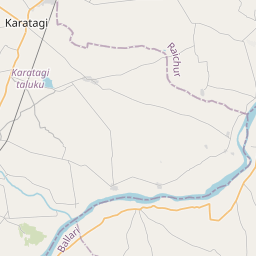
Distance Map Between Hospet and Kampli
Hospet, Bangalore, India ↔ Kampli, Bangalore, India = 17 miles = 28 km.


How far is it between Hospet and Kampli
Hospet is located in India with (15.2695,76.3871) coordinates and Kampli is located in India with (15.4053,76.6029) coordinates. The calculated flying distance from Hospet to Kampli is equal to 17 miles which is equal to 28 km.
If you want to go by car, the driving distance between Hospet and Kampli is 32.58 km. If you ride your car with an average speed of 112 kilometers/hour (70 miles/h), travel time will be 00 hours 17 minutes. Please check the avg. speed travel time table on the right for various options.
Difference between fly and go by a car is 5 km.
| City/Place | Latitude and Longitude | GPS Coordinates |
|---|---|---|
| Hospet | 15.2695, 76.3871 | 15° 16´ 10.3440'' N 76° 23´ 13.5600'' E |
| Kampli | 15.4053, 76.6029 | 15° 24´ 19.2240'' N 76° 36´ 10.2960'' E |
Estimated Travel Time Between Hospet and Kampli
| Average Speed | Travel Time |
|---|---|
| 30 mph (48 km/h) | 00 hours 40 minutes |
| 40 mph (64 km/h) | 00 hours 30 minutes |
| 50 mph (80 km/h) | 00 hours 24 minutes |
| 60 mph (97 km/h) | 00 hours 20 minutes |
| 70 mph (112 km/h) | 00 hours 17 minutes |
| 75 mph (120 km/h) | 00 hours 16 minutes |
Related Distances from Hospet
| Cities | Distance |
|---|---|
| Hospet to Kudligi | 45 km |
| Hospet to Sandur | 29 km |
| Hospet to Kushtagi | 67 km |
| Hospet to Ilkal | 94 km |
| Hospet to Kampli | 33 km |
Related Distances to Kampli
| Cities | Distance |
|---|---|
| Bellary to Kampli | 52 km |
| Hospet to Kampli | 33 km |
| Hubli to Kampli | 174 km |
| Gadag to Kampli | 119 km |
| Gulbarga to Kampli | 265 km |