Distance from Houthalen to Mol
Distance between Houthalen and Mol is 25 kilometers (16 miles).
Driving distance from Houthalen to Mol is 43 kilometers (27 miles).
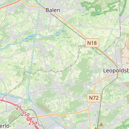
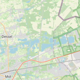
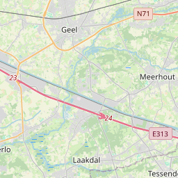
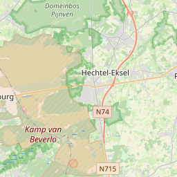
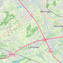
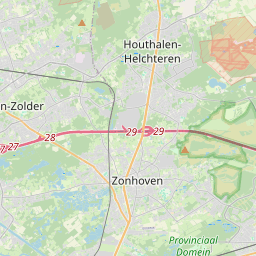
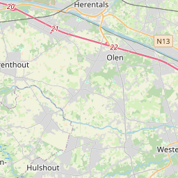
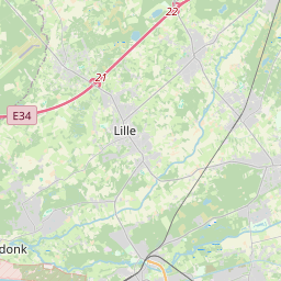
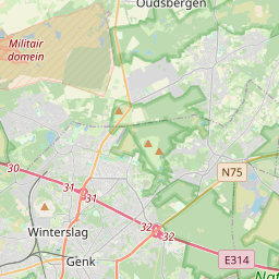
Distance Map Between Houthalen and Mol
Houthalen, , Belgium ↔ Mol, , Belgium = 16 miles = 25 km.


How far is it between Houthalen and Mol
Houthalen is located in Belgium with (51.0343,5.3743) coordinates and Mol is located in Belgium with (51.1919,5.1166) coordinates. The calculated flying distance from Houthalen to Mol is equal to 16 miles which is equal to 25 km.
If you want to go by car, the driving distance between Houthalen and Mol is 43.25 km. If you ride your car with an average speed of 112 kilometers/hour (70 miles/h), travel time will be 00 hours 23 minutes. Please check the avg. speed travel time table on the right for various options.
Difference between fly and go by a car is 18 km.
| City/Place | Latitude and Longitude | GPS Coordinates |
|---|---|---|
| Houthalen | 51.0343, 5.3743 | 51° 2´ 3.3720'' N 5° 22´ 27.4440'' E |
| Mol | 51.1919, 5.1166 | 51° 11´ 30.7680'' N 5° 6´ 59.8320'' E |
Estimated Travel Time Between Houthalen and Mol
| Average Speed | Travel Time |
|---|---|
| 30 mph (48 km/h) | 00 hours 54 minutes |
| 40 mph (64 km/h) | 00 hours 40 minutes |
| 50 mph (80 km/h) | 00 hours 32 minutes |
| 60 mph (97 km/h) | 00 hours 26 minutes |
| 70 mph (112 km/h) | 00 hours 23 minutes |
| 75 mph (120 km/h) | 00 hours 21 minutes |
Related Distances from Houthalen
| Cities | Distance |
|---|---|
| Houthalen to Sint Niklaas | 104 km |
| Houthalen to Tienen | 49 km |
| Houthalen to Knokke Heist | 172 km |
| Houthalen to Ieper | 206 km |
| Houthalen to Mol | 43 km |
Related Distances to Mol
| Cities | Distance |
|---|---|
| Antwerpen to Mol | 58 km |
| Brugge to Mol | 165 km |
| Geel to Mol | 14 km |
| Gent to Mol | 115 km |
| Genk to Mol | 51 km |