Distance from Hove to Koeln
Distance between Hove and Koeln is 499 kilometers (310 miles).
Driving distance from Hove to Koeln is 619 kilometers (385 miles).
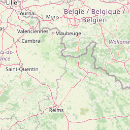
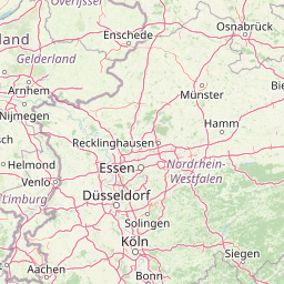
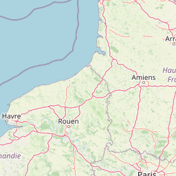
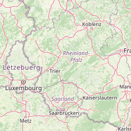
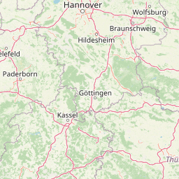
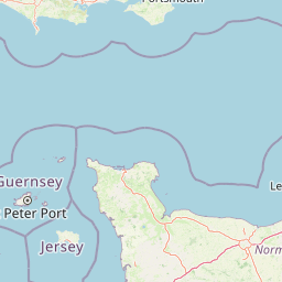
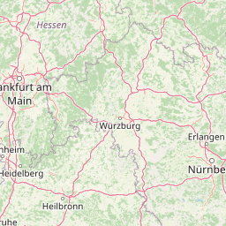
Distance Map Between Hove and Koeln
Hove, London, United Kingdom ↔ Koeln, Dusseldorf, Germany = 310 miles = 499 km.


How far is it between Hove and Köln
Hove is located in United Kingdom with (50.8309,-0.1672) coordinates and Koeln is located in Germany with (50.9333,6.95) coordinates. The calculated flying distance from Hove to Koeln is equal to 310 miles which is equal to 499 km.
If you want to go by car, the driving distance between Hove and Koeln is 619.06 km. If you ride your car with an average speed of 112 kilometers/hour (70 miles/h), travel time will be 05 hours 31 minutes. Please check the avg. speed travel time table on the right for various options.
Difference between fly and go by a car is 120 km.
| City/Place | Latitude and Longitude | GPS Coordinates |
|---|---|---|
| Hove | 50.8309, -0.1672 | 50° 49´ 51.1680'' N 0° 10´ 1.9200'' W |
| Koeln | 50.9333, 6.95 | 50° 55´ 59.9880'' N 6° 57´ 0.0000'' E |
Estimated Travel Time Between Hove and Köln
| Average Speed | Travel Time |
|---|---|
| 30 mph (48 km/h) | 12 hours 53 minutes |
| 40 mph (64 km/h) | 09 hours 40 minutes |
| 50 mph (80 km/h) | 07 hours 44 minutes |
| 60 mph (97 km/h) | 06 hours 22 minutes |
| 70 mph (112 km/h) | 05 hours 31 minutes |
| 75 mph (120 km/h) | 05 hours 09 minutes |
Related Distances from Hove
| Cities | Distance |
|---|---|
| Hove to Berlin | 1137 km |
| Hove to Hamburg | 967 km |
| Hove to Munich | 1177 km |
| Hove to Koeln | 619 km |
Related Distances to Koeln
| Cities | Distance |
|---|---|
| London to Koeln | 590 km |
| Belfast to Koeln | 1348 km |
| Rugby to Koeln | 726 km |
| Canterbury to Koeln | 498 km |
| Cardiff to Koeln | 830 km |