Distance from Hove to Portsmouth
Distance between Hove and Portsmouth is 65 kilometers (40 miles).
Driving distance from Hove to Portsmouth is 79 kilometers (49 miles).
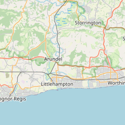
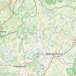
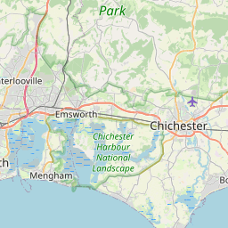
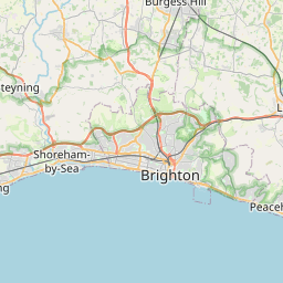
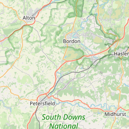
Distance Map Between Hove and Portsmouth
Hove, London, United Kingdom ↔ Portsmouth, London, United Kingdom = 40 miles = 65 km.


How far is it between Hove and Portsmouth
Hove is located in United Kingdom with (50.8309,-0.1672) coordinates and Portsmouth is located in United Kingdom with (50.799,-1.0913) coordinates. The calculated flying distance from Hove to Portsmouth is equal to 40 miles which is equal to 65 km.
If you want to go by car, the driving distance between Hove and Portsmouth is 79.41 km. If you ride your car with an average speed of 112 kilometers/hour (70 miles/h), travel time will be 00 hours 42 minutes. Please check the avg. speed travel time table on the right for various options.
Difference between fly and go by a car is 14 km.
| City/Place | Latitude and Longitude | GPS Coordinates |
|---|---|---|
| Hove | 50.8309, -0.1672 | 50° 49´ 51.1680'' N 0° 10´ 1.9200'' W |
| Portsmouth | 50.799, -1.0913 | 50° 47´ 56.3640'' N 1° 5´ 28.5000'' W |
Estimated Travel Time Between Hove and Portsmouth
| Average Speed | Travel Time |
|---|---|
| 30 mph (48 km/h) | 01 hours 39 minutes |
| 40 mph (64 km/h) | 01 hours 14 minutes |
| 50 mph (80 km/h) | 00 hours 59 minutes |
| 60 mph (97 km/h) | 00 hours 49 minutes |
| 70 mph (112 km/h) | 00 hours 42 minutes |
| 75 mph (120 km/h) | 00 hours 39 minutes |
Related Distances from Hove
| Cities | Distance |
|---|---|
| Hove to City Of London | 122 km |
| Hove to Huddersfield | 405 km |
| Hove to Hull | 418 km |
| Hove to Ipswich | 202 km |
| Hove to Islington | 123 km |
| Hove to Leeds | 412 km |
| Hove to Leicester | 264 km |
| Hove to Lincoln 2 | 339 km |
| Hove to Liverpool | 434 km |
| Hove to Luton | 154 km |
Related Distances to Portsmouth
| Cities | Distance |
|---|---|
| Islington to Portsmouth | 128 km |
| Newton Le Willows to Portsmouth | 387 km |
| Cannock to Portsmouth | 279 km |
| Ilkeston to Portsmouth | 304 km |
| Crawley to Portsmouth | 95 km |
| Didcot to Portsmouth | 121 km |
| Oxford to Portsmouth | 135 km |
| Colchester to Portsmouth | 237 km |
| Middlesbrough to Portsmouth | 505 km |
| Gateshead to Portsmouth | 556 km |