Distance from Hove to Preston
Distance between Hove and Preston is 370 kilometers (230 miles).
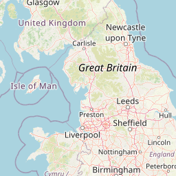
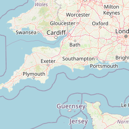
Distance Map Between Hove and Preston
Hove, London, United Kingdom ↔ Preston, London, United Kingdom = 230 miles = 370 km.


Leaflet | © OpenStreetMap
How far is it between Hove and Preston
Hove is located in United Kingdom with (50.8309,-0.1672) coordinates and Preston is located in United Kingdom with (53.7667,-2.7167) coordinates. The calculated flying distance from Hove to Preston is equal to 230 miles which is equal to 370 km.
| City/Place | Latitude and Longitude | GPS Coordinates |
|---|---|---|
| Hove | 50.8309, -0.1672 | 50° 49´ 51.1680'' N 0° 10´ 1.9200'' W |
| Preston | 53.7667, -2.7167 | 53° 46´ 0.0120'' N 2° 43´ 0.0120'' W |
Hove, London, United Kingdom
Related Distances from Hove
| Cities | Distance |
|---|---|
| Hove to Worthing | 21 km |
| Hove to Southampton | 100 km |
| Hove to Portsmouth | 79 km |
| Hove to Woking | 96 km |
| Hove to Manchester | 416 km |
Preston, London, United Kingdom
Related Distances to Preston
| Cities | Distance |
|---|---|
| Manchester to Preston | 59 km |
| Liverpool to Preston | 60 km |
| London to Preston | 371 km |
| Blackpool to Preston | 29 km |
| Birmingham to Preston | 176 km |