Distance from Huanuni to Oruro
Distance between Huanuni and Oruro is 48 kilometers (30 miles).
Driving distance from Huanuni to Oruro is 56 kilometers (35 miles).
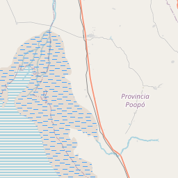
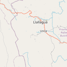
Distance Map Between Huanuni and Oruro
Huanuni, Oruro, Bolivia ↔ Oruro, Bolivia = 30 miles = 48 km.


How far is it between Huanuni and Oruro
Huanuni is located in Bolivia with (-18.289,-66.8358) coordinates and Oruro is located in Bolivia with (-17.9833,-67.15) coordinates. The calculated flying distance from Huanuni to Oruro is equal to 30 miles which is equal to 48 km.
If you want to go by car, the driving distance between Huanuni and Oruro is 55.81 km. If you ride your car with an average speed of 112 kilometers/hour (70 miles/h), travel time will be 00 hours 29 minutes. Please check the avg. speed travel time table on the right for various options.
Difference between fly and go by a car is 8 km.
| City/Place | Latitude and Longitude | GPS Coordinates |
|---|---|---|
| Huanuni | -18.289, -66.8358 | 18° 17´ 20.4000'' S 66° 50´ 8.9880'' W |
| Oruro | -17.9833, -67.15 | 17° 58´ 59.9880'' S 67° 9´ 0.0000'' W |
Estimated Travel Time Between Huanuni and Oruro
| Average Speed | Travel Time |
|---|---|
| 30 mph (48 km/h) | 01 hours 09 minutes |
| 40 mph (64 km/h) | 00 hours 52 minutes |
| 50 mph (80 km/h) | 00 hours 41 minutes |
| 60 mph (97 km/h) | 00 hours 34 minutes |
| 70 mph (112 km/h) | 00 hours 29 minutes |
| 75 mph (120 km/h) | 00 hours 27 minutes |
Related Distances from Huanuni
| Cities | Distance |
|---|---|
| Huanuni to Oruro | 56 km |
| Huanuni to Santa Cruz De La Sierra | 723 km |
| Huanuni to Tarija | 657 km |
| Huanuni to Potosi | 312 km |
| Huanuni to Trinidad | 1169 km |
Related Distances to Oruro
| Cities | Distance |
|---|---|
| La Paz to Oruro | 224 km |
| Cochabamba to Oruro | 221 km |
| Sucre to Oruro | 472 km |
| Potosi to Oruro | 320 km |
| Huanuni to Oruro | 56 km |