Distance from Hurth to Moers
Distance between Hurth and Moers is 67 kilometers (42 miles).
Driving distance from Hurth to Moers is 80 kilometers (50 miles).
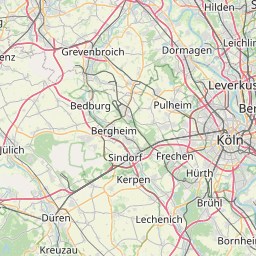
Distance Map Between Hurth and Moers
Hurth, Dusseldorf, Germany ↔ Moers, Dusseldorf, Germany = 42 miles = 67 km.


How far is it between Hürth and Moers
Hurth is located in Germany with (50.8708,6.8676) coordinates and Moers is located in Germany with (51.4534,6.6326) coordinates. The calculated flying distance from Hurth to Moers is equal to 42 miles which is equal to 67 km.
If you want to go by car, the driving distance between Hurth and Moers is 79.94 km. If you ride your car with an average speed of 112 kilometers/hour (70 miles/h), travel time will be 00 hours 42 minutes. Please check the avg. speed travel time table on the right for various options.
Difference between fly and go by a car is 13 km.
| City/Place | Latitude and Longitude | GPS Coordinates |
|---|---|---|
| Hurth | 50.8708, 6.8676 | 50° 52´ 14.8440'' N 6° 52´ 3.3960'' E |
| Moers | 51.4534, 6.6326 | 51° 27´ 12.3120'' N 6° 37´ 57.3600'' E |
Estimated Travel Time Between Hürth and Moers
| Average Speed | Travel Time |
|---|---|
| 30 mph (48 km/h) | 01 hours 39 minutes |
| 40 mph (64 km/h) | 01 hours 14 minutes |
| 50 mph (80 km/h) | 00 hours 59 minutes |
| 60 mph (97 km/h) | 00 hours 49 minutes |
| 70 mph (112 km/h) | 00 hours 42 minutes |
| 75 mph (120 km/h) | 00 hours 39 minutes |
Related Distances from Hurth
| Cities | Distance |
|---|---|
| Hurth to Koeln | 10 km |
| Hurth to Kerpen | 17 km |
| Hurth to Muelheim Ruhr | 84 km |
| Hurth to Solingen | 52 km |
| Hurth to Paderborn | 194 km |
Related Distances to Moers
| Cities | Distance |
|---|---|
| Duisburg to Moers | 15 km |
| Kamp Lintfort to Moers | 10 km |
| Dortmund to Moers | 72 km |
| Bonn to Moers | 103 km |
| Koeln to Moers | 71 km |