Distance from Iba to Pulilan
Distance between Iba and Pulilan is 105 kilometers (65 miles).
Driving distance from Iba to Pulilan is 191 kilometers (118 miles).
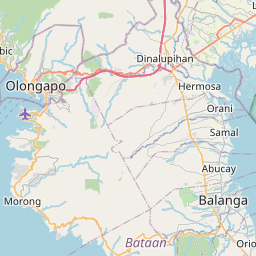
Distance Map Between Iba and Pulilan
Iba, , Philippines ↔ Pulilan, , Philippines = 65 miles = 105 km.


How far is it between Iba and Pulilan
Iba is located in Philippines with (15.3276,119.978) coordinates and Pulilan is located in Philippines with (14.9017,120.8492) coordinates. The calculated flying distance from Iba to Pulilan is equal to 65 miles which is equal to 105 km.
If you want to go by car, the driving distance between Iba and Pulilan is 190.55 km. If you ride your car with an average speed of 112 kilometers/hour (70 miles/h), travel time will be 01 hours 42 minutes. Please check the avg. speed travel time table on the right for various options.
Difference between fly and go by a car is 86 km.
| City/Place | Latitude and Longitude | GPS Coordinates |
|---|---|---|
| Iba | 15.3276, 119.978 | 15° 19´ 39.3600'' N 119° 58´ 40.8000'' E |
| Pulilan | 14.9017, 120.8492 | 14° 54´ 6.0120'' N 120° 50´ 57.0120'' E |
Estimated Travel Time Between Iba and Pulilan
| Average Speed | Travel Time |
|---|---|
| 30 mph (48 km/h) | 03 hours 58 minutes |
| 40 mph (64 km/h) | 02 hours 58 minutes |
| 50 mph (80 km/h) | 02 hours 22 minutes |
| 60 mph (97 km/h) | 01 hours 57 minutes |
| 70 mph (112 km/h) | 01 hours 42 minutes |
| 75 mph (120 km/h) | 01 hours 35 minutes |
Related Distances from Iba
| Cities | Distance |
|---|---|
| Iba to Masinloc | 28 km |
| Iba to Olongapo | 80 km |
| Iba to San Narciso | 42 km |
| Iba to Subic | 67 km |
| Iba to Santa Cruz 5 | 57 km |
Related Distances to Pulilan
| Cities | Distance |
|---|---|
| Malolos to Pulilan | 17 km |
| Guiguinto to Pulilan | 13 km |
| Bulacan to Pulilan | 20 km |
| Balagtas to Pulilan | 12 km |
| Calumpit to Pulilan | 10 km |