Distance from Ibadan to Bambari
Distance between Ibadan and Bambari is 1862 kilometers (1157 miles).
Driving distance from Ibadan to Bambari is 2465 kilometers (1532 miles).
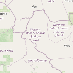
Distance Map Between Ibadan and Bambari
Ibadan, Nigeria ↔ Bambari, Central African Republic = 1157 miles = 1862 km.


How far is it between Ibadan and Bambari
Ibadan is located in Nigeria with (7.3878,3.8964) coordinates and Bambari is located in Central African Republic with (5.768,20.6757) coordinates. The calculated flying distance from Ibadan to Bambari is equal to 1157 miles which is equal to 1862 km.
If you want to go by car, the driving distance between Ibadan and Bambari is 2465.43 km. If you ride your car with an average speed of 112 kilometers/hour (70 miles/h), travel time will be 22 hours 00 minutes. Please check the avg. speed travel time table on the right for various options.
Difference between fly and go by a car is 603 km.
| City/Place | Latitude and Longitude | GPS Coordinates |
|---|---|---|
| Ibadan | 7.3878, 3.8964 | 7° 23´ 16.0080'' N 3° 53´ 47.0040'' E |
| Bambari | 5.768, 20.6757 | 5° 46´ 4.6200'' N 20° 40´ 32.3400'' E |
Estimated Travel Time Between Ibadan and Bambari
| Average Speed | Travel Time |
|---|---|
| 30 mph (48 km/h) | 51 hours 21 minutes |
| 40 mph (64 km/h) | 38 hours 31 minutes |
| 50 mph (80 km/h) | 30 hours 49 minutes |
| 60 mph (97 km/h) | 25 hours 25 minutes |
| 70 mph (112 km/h) | 22 hours 00 minutes |
| 75 mph (120 km/h) | 20 hours 32 minutes |
Related Distances from Ibadan
| Cities | Distance |
|---|---|
| Ibadan to Nola | 1972 km |
| Ibadan to Bangui | 2158 km |
| Ibadan to Bimbo | 2329 km |
| Ibadan to Boda | 2152 km |
| Ibadan to Bouar | 1718 km |
Related Distances to Bambari
| Cities | Distance |
|---|---|
| Benin City to Bambari | 2305 km |
| Kaduna to Bambari | 2200 km |
| Lagos to Bambari | 2623 km |
| Aba to Bambari | 2003 km |
| Port Harcourt to Bambari | 2092 km |