Distance from Ilhavo to Boumerdas
Distance between Ilhavo and Boumerdas is 1136 kilometers (706 miles).
Driving distance from Ilhavo to Boumerdas is 1748 kilometers (1086 miles).
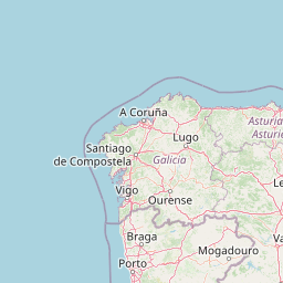
Distance Map Between Ilhavo and Boumerdas
Ilhavo, Aveiro, Portugal ↔ Boumerdas, Algeria = 706 miles = 1136 km.


How far is it between Ílhavo and Boumerdas
Ilhavo is located in Portugal with (40.5999,-8.6673) coordinates and Boumerdas is located in Algeria with (36.7664,3.4772) coordinates. The calculated flying distance from Ilhavo to Boumerdas is equal to 706 miles which is equal to 1136 km.
If you want to go by car, the driving distance between Ilhavo and Boumerdas is 1747.91 km. If you ride your car with an average speed of 112 kilometers/hour (70 miles/h), travel time will be 15 hours 36 minutes. Please check the avg. speed travel time table on the right for various options.
Difference between fly and go by a car is 612 km.
| City/Place | Latitude and Longitude | GPS Coordinates |
|---|---|---|
| Ilhavo | 40.5999, -8.6673 | 40° 35´ 59.6400'' N 8° 40´ 2.3520'' W |
| Boumerdas | 36.7664, 3.4772 | 36° 45´ 59.0040'' N 3° 28´ 37.8120'' E |
Estimated Travel Time Between Ílhavo and Boumerdas
| Average Speed | Travel Time |
|---|---|
| 30 mph (48 km/h) | 36 hours 24 minutes |
| 40 mph (64 km/h) | 27 hours 18 minutes |
| 50 mph (80 km/h) | 21 hours 50 minutes |
| 60 mph (97 km/h) | 18 hours 01 minutes |
| 70 mph (112 km/h) | 15 hours 36 minutes |
| 75 mph (120 km/h) | 14 hours 33 minutes |
Related Distances to Boumerdas
| Cities | Distance |
|---|---|
| Santarem 2 to Boumerdas | 1719 km |
| Sintra to Boumerdas | 1697 km |
| Vila Franca De Xira to Boumerdas | 1683 km |
| Lisbon to Boumerdas | 1679 km |
| Arrentela to Boumerdas | 1658 km |