Distance from Illela to Conakry
Distance between Illela and Conakry is 2128 kilometers (1322 miles).
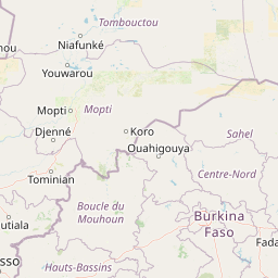
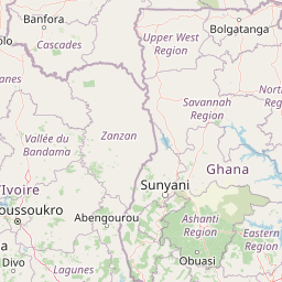
Distance Map Between Illela and Conakry
Illela, Tahoua, Niger ↔ Conakry, Guinea = 1322 miles = 2128 km.


Leaflet | © OpenStreetMap
How far is it between Illéla and Conakry
Illela is located in Niger with (14.4605,5.2437) coordinates and Conakry is located in Guinea with (9.538,-13.6773) coordinates. The calculated flying distance from Illela to Conakry is equal to 1322 miles which is equal to 2128 km.
| City/Place | Latitude and Longitude | GPS Coordinates |
|---|---|---|
| Illela | 14.4605, 5.2437 | 14° 27´ 37.8000'' N 5° 14´ 37.3200'' E |
| Conakry | 9.538, -13.6773 | 9° 32´ 16.6200'' N 13° 40´ 38.2440'' W |
Conakry, Guinea
Related Distances to Conakry
| Cities | Distance |
|---|---|
| Niamey to Conakry | 2301 km |
| Tahoua to Conakry | 2724 km |
| Madaoua to Conakry | 2803 km |
| Ayorou to Conakry | 2346 km |
| Dosso to Conakry | 2309 km |