Distance from Imatra to Kokkola
Distance between Imatra and Kokkola is 413 kilometers (257 miles).
Driving distance from Imatra to Kokkola is 497 kilometers (309 miles).
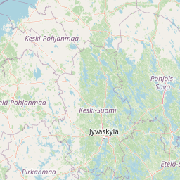
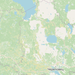
Distance Map Between Imatra and Kokkola
Imatra, Lappeenranta, Finland ↔ Kokkola, Finland = 257 miles = 413 km.


How far is it between Imatra and Kokkola
Imatra is located in Finland with (61.1719,28.7524) coordinates and Kokkola is located in Finland with (63.8385,23.1307) coordinates. The calculated flying distance from Imatra to Kokkola is equal to 257 miles which is equal to 413 km.
If you want to go by car, the driving distance between Imatra and Kokkola is 496.98 km. If you ride your car with an average speed of 112 kilometers/hour (70 miles/h), travel time will be 04 hours 26 minutes. Please check the avg. speed travel time table on the right for various options.
Difference between fly and go by a car is 84 km.
| City/Place | Latitude and Longitude | GPS Coordinates |
|---|---|---|
| Imatra | 61.1719, 28.7524 | 61° 10´ 18.6600'' N 28° 45´ 8.7120'' E |
| Kokkola | 63.8385, 23.1307 | 63° 50´ 18.4920'' N 23° 7´ 50.3760'' E |
Estimated Travel Time Between Imatra and Kokkola
| Average Speed | Travel Time |
|---|---|
| 30 mph (48 km/h) | 10 hours 21 minutes |
| 40 mph (64 km/h) | 07 hours 45 minutes |
| 50 mph (80 km/h) | 06 hours 12 minutes |
| 60 mph (97 km/h) | 05 hours 07 minutes |
| 70 mph (112 km/h) | 04 hours 26 minutes |
| 75 mph (120 km/h) | 04 hours 08 minutes |
Related Distances from Imatra
| Cities | Distance |
|---|---|
| Imatra to Lappeenranta | 35 km |
| Imatra to Turku | 416 km |
| Imatra to Joensuu | 201 km |
| Imatra to Mikkeli | 142 km |
| Imatra to Kuopio | 243 km |
Related Distances to Kokkola
| Cities | Distance |
|---|---|
| Helsinki to Kokkola | 489 km |
| Turku to Kokkola | 452 km |
| Jyvaeskylae to Kokkola | 243 km |
| Kajaani to Kokkola | 246 km |
| Imatra to Kokkola | 497 km |