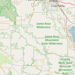
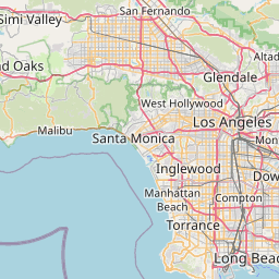
Distance from Indio to Burbank
Distance between Indio and Burbank is 200 kilometers (124 miles).
Driving distance from Indio to Burbank is 220 kilometers (137 miles).
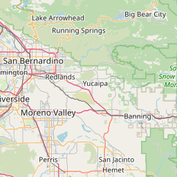
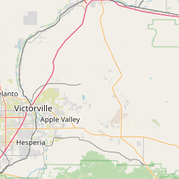
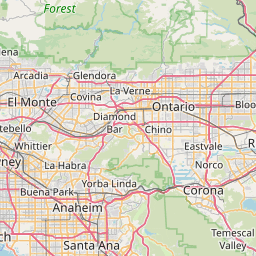
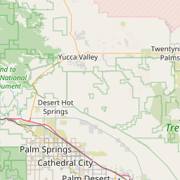
Distance Map Between Indio and Burbank
Indio, Sacramento, United States ↔ Burbank, Sacramento, United States = 124 miles = 200 km.


How far is it between Indio and Burbank
Indio is located in United States with (33.7206,-116.2156) coordinates and Burbank is located in United States with (34.1808,-118.309) coordinates. The calculated flying distance from Indio to Burbank is equal to 124 miles which is equal to 200 km.
If you want to go by car, the driving distance between Indio and Burbank is 219.73 km. If you ride your car with an average speed of 112 kilometers/hour (70 miles/h), travel time will be 01 hours 57 minutes. Please check the avg. speed travel time table on the right for various options.
Difference between fly and go by a car is 20 km.
| City/Place | Latitude and Longitude | GPS Coordinates |
|---|---|---|
| Indio | 33.7206, -116.2156 | 33° 43´ 14.0880'' N 116° 12´ 56.0160'' W |
| Burbank | 34.1808, -118.309 | 34° 10´ 51.0240'' N 118° 18´ 32.2920'' W |
Estimated Travel Time Between Indio and Burbank
| Average Speed | Travel Time |
|---|---|
| 30 mph (48 km/h) | 04 hours 34 minutes |
| 40 mph (64 km/h) | 03 hours 25 minutes |
| 50 mph (80 km/h) | 02 hours 44 minutes |
| 60 mph (97 km/h) | 02 hours 15 minutes |
| 70 mph (112 km/h) | 01 hours 57 minutes |
| 75 mph (120 km/h) | 01 hours 49 minutes |
Related Distances from Indio
| Cities | Distance |
|---|---|
| Indio to Huntington Beach | 201 km |
| Indio to Los Angeles | 204 km |
| Indio to Corona | 143 km |
| Indio to Bakersfield | 382 km |
| Indio to Anaheim | 178 km |
Related Distances to Burbank
| Cities | Distance |
|---|---|
| Los Angeles to Burbank | 19 km |
| Santa Monica to Burbank | 39 km |
| Van Nuys to Burbank | 17 km |
| Glendale 2 to Burbank | 8 km |
| Pasadena 2 to Burbank | 19 km |