Distance from Inglewood to Chino
Distance between Inglewood and Chino is 61 kilometers (38 miles).
Driving distance from Inglewood to Chino is 77 kilometers (48 miles).
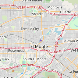
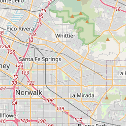
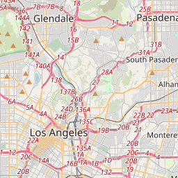
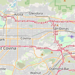
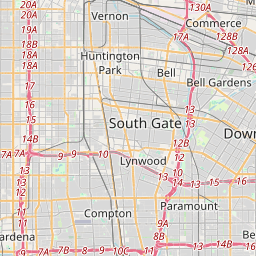
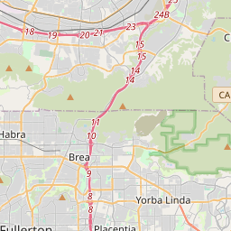
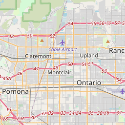
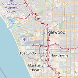
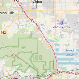
Distance Map Between Inglewood and Chino
Inglewood, Sacramento, United States ↔ Chino, Sacramento, United States = 38 miles = 61 km.


How far is it between Inglewood and Chino
Inglewood is located in United States with (33.9617,-118.3531) coordinates and Chino is located in United States with (34.0122,-117.6889) coordinates. The calculated flying distance from Inglewood to Chino is equal to 38 miles which is equal to 61 km.
If you want to go by car, the driving distance between Inglewood and Chino is 77.18 km. If you ride your car with an average speed of 112 kilometers/hour (70 miles/h), travel time will be 00 hours 41 minutes. Please check the avg. speed travel time table on the right for various options.
Difference between fly and go by a car is 16 km.
| City/Place | Latitude and Longitude | GPS Coordinates |
|---|---|---|
| Inglewood | 33.9617, -118.3531 | 33° 57´ 42.0480'' N 118° 21´ 11.2680'' W |
| Chino | 34.0122, -117.6889 | 34° 0´ 44.0280'' N 117° 41´ 20.1840'' W |
Estimated Travel Time Between Inglewood and Chino
| Average Speed | Travel Time |
|---|---|
| 30 mph (48 km/h) | 01 hours 36 minutes |
| 40 mph (64 km/h) | 01 hours 12 minutes |
| 50 mph (80 km/h) | 00 hours 57 minutes |
| 60 mph (97 km/h) | 00 hours 47 minutes |
| 70 mph (112 km/h) | 00 hours 41 minutes |
| 75 mph (120 km/h) | 00 hours 38 minutes |
Related Distances from Inglewood
| Cities | Distance |
|---|---|
| Inglewood to Hollywood | 17 km |
| Inglewood to Compton | 19 km |
| Inglewood to Anaheim | 51 km |
| Inglewood to Beverly Hills | 20 km |
| Inglewood to Hawthorne | 5 km |
Related Distances to Chino
| Cities | Distance |
|---|---|
| Long Beach to Chino Hills | 70 km |
| Los Angeles to Chino Hills | 50 km |
| Newport Beach to Chino | 64 km |
| Ontario to Chino | 9 km |
| Los Angeles to Chino | 55 km |