Distance from Iowa City to Davenport
Distance between Iowa City and Davenport is 81 kilometers (50 miles).
Driving distance from Iowa City to Davenport is 92 kilometers (57 miles).
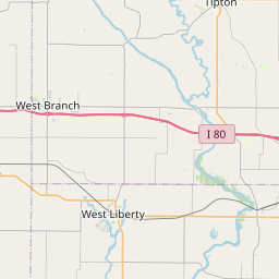
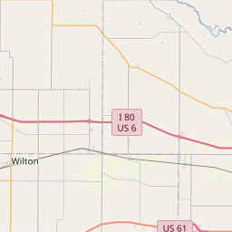
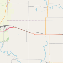
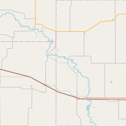
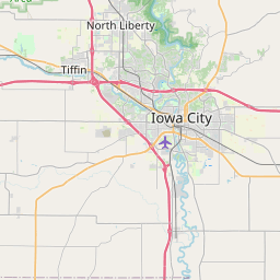
Distance Map Between Iowa City and Davenport
Iowa City, Des Moines, United States ↔ Davenport, Des Moines, United States = 50 miles = 81 km.


How far is it between Iowa City and Davenport
Iowa City is located in United States with (41.6611,-91.5302) coordinates and Davenport is located in United States with (41.5236,-90.5776) coordinates. The calculated flying distance from Iowa City to Davenport is equal to 50 miles which is equal to 81 km.
If you want to go by car, the driving distance between Iowa City and Davenport is 91.56 km. If you ride your car with an average speed of 112 kilometers/hour (70 miles/h), travel time will be 00 hours 49 minutes. Please check the avg. speed travel time table on the right for various options.
Difference between fly and go by a car is 11 km.
| City/Place | Latitude and Longitude | GPS Coordinates |
|---|---|---|
| Iowa City | 41.6611, -91.5302 | 41° 39´ 40.0680'' N 91° 31´ 48.6120'' W |
| Davenport | 41.5236, -90.5776 | 41° 31´ 25.1040'' N 90° 34´ 39.5040'' W |
Estimated Travel Time Between Iowa City and Davenport
| Average Speed | Travel Time |
|---|---|
| 30 mph (48 km/h) | 01 hours 54 minutes |
| 40 mph (64 km/h) | 01 hours 25 minutes |
| 50 mph (80 km/h) | 01 hours 08 minutes |
| 60 mph (97 km/h) | 00 hours 56 minutes |
| 70 mph (112 km/h) | 00 hours 49 minutes |
| 75 mph (120 km/h) | 00 hours 45 minutes |
Related Distances from Iowa City
| Cities | Distance |
|---|---|
| Iowa City to Davenport | 92 km |
| Iowa City to Cedar Rapids | 50 km |
| Iowa City to Ames | 205 km |
| Iowa City to Burlington 4 | 127 km |
| Iowa City to Coralville | 6 km |
Related Distances to Davenport
| Cities | Distance |
|---|---|
| Iowa City to Davenport | 92 km |
| Sioux City to Davenport | 591 km |
| Dubuque to Davenport | 115 km |
| West Des Moines to Davenport | 280 km |
| Waterloo 2 to Davenport | 220 km |