Distance from Irece to Mucuri
Distance between Irece and Mucuri is 794 kilometers (493 miles).
Driving distance from Irece to Mucuri is 1075 kilometers (668 miles).
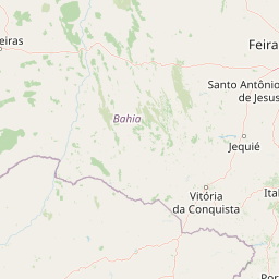
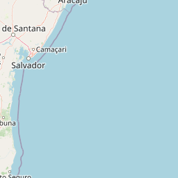
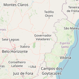
Distance Map Between Irece and Mucuri
Irece, Salvador, Brazil ↔ Mucuri, Salvador, Brazil = 493 miles = 794 km.


How far is it between Irecê and Mucuri
Irece is located in Brazil with (-11.3042,-41.8558) coordinates and Mucuri is located in Brazil with (-18.0864,-39.5508) coordinates. The calculated flying distance from Irece to Mucuri is equal to 493 miles which is equal to 794 km.
If you want to go by car, the driving distance between Irece and Mucuri is 1075.31 km. If you ride your car with an average speed of 112 kilometers/hour (70 miles/h), travel time will be 09 hours 36 minutes. Please check the avg. speed travel time table on the right for various options.
Difference between fly and go by a car is 281 km.
| City/Place | Latitude and Longitude | GPS Coordinates |
|---|---|---|
| Irece | -11.3042, -41.8558 | 11° 18´ 15.0120'' S 41° 51´ 20.9880'' W |
| Mucuri | -18.0864, -39.5508 | 18° 5´ 11.0040'' S 39° 33´ 2.9880'' W |
Estimated Travel Time Between Irecê and Mucuri
| Average Speed | Travel Time |
|---|---|
| 30 mph (48 km/h) | 22 hours 24 minutes |
| 40 mph (64 km/h) | 16 hours 48 minutes |
| 50 mph (80 km/h) | 13 hours 26 minutes |
| 60 mph (97 km/h) | 11 hours 05 minutes |
| 70 mph (112 km/h) | 09 hours 36 minutes |
| 75 mph (120 km/h) | 08 hours 57 minutes |
Related Distances from Irece
| Cities | Distance |
|---|---|
| Irece to Vitoria Da Conquista | 516 km |
| Irece to Una 2 | 730 km |
| Irece to Xique Xique | 112 km |
| Irece to Santo Amaro | 429 km |
| Irece to Maragogipe | 430 km |
Related Distances to Mucuri
| Cities | Distance |
|---|---|
| Medeiros Neto to Mucuri | 160 km |
| Jequie to Mucuri | 644 km |
| Bom Jesus Da Lapa to Mucuri | 932 km |
| Mascote to Mucuri | 397 km |
| Itaparica to Mucuri | 775 km |