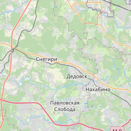
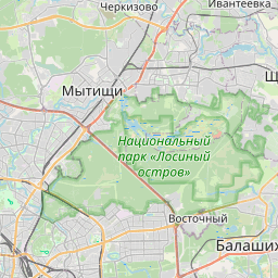
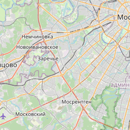
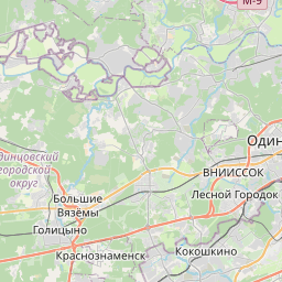
Distance from Istra to Korolev
Distance between Istra and Korolev is 60 kilometers (37 miles).
Driving distance from Istra to Korolev is 92 kilometers (57 miles).
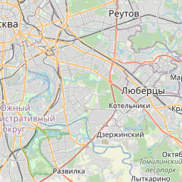
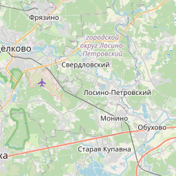
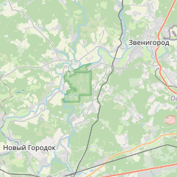
Distance Map Between Istra and Korolev
Istra, Vostochnoe Degunino, Russia ↔ Korolev, Vostochnoe Degunino, Russia = 37 miles = 60 km.


How far is it between Istra and Korolev
Istra is located in Russia with (55.92,36.8687) coordinates and Korolev is located in Russia with (55.9142,37.8256) coordinates. The calculated flying distance from Istra to Korolev is equal to 37 miles which is equal to 60 km.
If you want to go by car, the driving distance between Istra and Korolev is 91.51 km. If you ride your car with an average speed of 112 kilometers/hour (70 miles/h), travel time will be 00 hours 49 minutes. Please check the avg. speed travel time table on the right for various options.
Difference between fly and go by a car is 32 km.
| City/Place | Latitude and Longitude | GPS Coordinates |
|---|---|---|
| Istra | 55.92, 36.8687 | 55° 55´ 11.8920'' N 36° 52´ 7.2120'' E |
| Korolev | 55.9142, 37.8256 | 55° 54´ 51.0120'' N 37° 49´ 32.0160'' E |
Estimated Travel Time Between Istra and Korolev
| Average Speed | Travel Time |
|---|---|
| 30 mph (48 km/h) | 01 hours 54 minutes |
| 40 mph (64 km/h) | 01 hours 25 minutes |
| 50 mph (80 km/h) | 01 hours 08 minutes |
| 60 mph (97 km/h) | 00 hours 56 minutes |
| 70 mph (112 km/h) | 00 hours 49 minutes |
| 75 mph (120 km/h) | 00 hours 45 minutes |
Related Distances from Istra
| Cities | Distance |
|---|---|
| Istra to Klin | 66 km |
| Istra to Yubileyny | 94 km |
| Istra to Pushkino | 99 km |
| Istra to Naro Fominsk | 80 km |
| Istra to Podol Sk | 101 km |
Related Distances to Korolev
| Cities | Distance |
|---|---|
| Fili to Korolev | 35 km |
| Domodedovo to Korolev | 66 km |
| Chekhov to Korolev | 114 km |
| Elektrostal to Korolev | 65 km |
| Dubna to Korolev | 126 km |