Distance from Istra to Presnenskiy
Distance between Istra and Presnenskiy is 47 kilometers (29 miles).
Driving distance from Istra to Presnenskiy is 67 kilometers (42 miles).
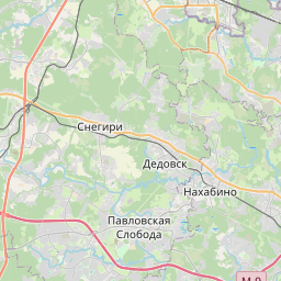
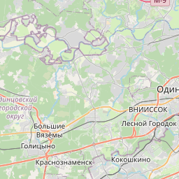
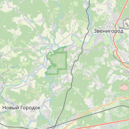
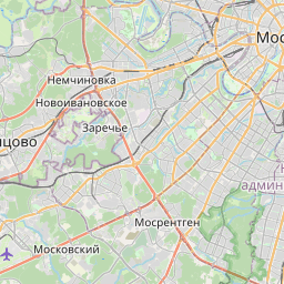
Distance Map Between Istra and Presnenskiy
Istra, Vostochnoe Degunino, Russia ↔ Presnenskiy, Vostochnoe Degunino, Russia = 29 miles = 47 km.


How far is it between Istra and Presnenskiy
Istra is located in Russia with (55.92,36.8687) coordinates and Presnenskiy is located in Russia with (55.75,37.55) coordinates. The calculated flying distance from Istra to Presnenskiy is equal to 29 miles which is equal to 47 km.
If you want to go by car, the driving distance between Istra and Presnenskiy is 67.28 km. If you ride your car with an average speed of 112 kilometers/hour (70 miles/h), travel time will be 00 hours 36 minutes. Please check the avg. speed travel time table on the right for various options.
Difference between fly and go by a car is 20 km.
| City/Place | Latitude and Longitude | GPS Coordinates |
|---|---|---|
| Istra | 55.92, 36.8687 | 55° 55´ 11.8920'' N 36° 52´ 7.2120'' E |
| Presnenskiy | 55.75, 37.55 | 55° 45´ 0.0000'' N 37° 32´ 60.0000'' E |
Estimated Travel Time Between Istra and Presnenskiy
| Average Speed | Travel Time |
|---|---|
| 30 mph (48 km/h) | 01 hours 24 minutes |
| 40 mph (64 km/h) | 01 hours 03 minutes |
| 50 mph (80 km/h) | 00 hours 50 minutes |
| 60 mph (97 km/h) | 00 hours 41 minutes |
| 70 mph (112 km/h) | 00 hours 36 minutes |
| 75 mph (120 km/h) | 00 hours 33 minutes |
Related Distances from Istra
| Cities | Distance |
|---|---|
| Istra to Biryulevo Zapadnoye | 88 km |
| Istra to Ivanteyevka | 100 km |
| Istra to Izmaylovo | 100 km |
| Istra to Kashira | 187 km |
| Istra to Kastanayevo | 66 km |
| Istra to Khoroshevo Mnevniki | 63 km |
| Istra to Khot Kovo | 106 km |
| Istra to Klimovsk | 109 km |
| Istra to Klin | 66 km |
| Istra to Kolomna | 191 km |
Related Distances to Presnenskiy
| Cities | Distance |
|---|---|
| Kotel Niki to Presnenskiy | 34 km |
| Balashikha to Presnenskiy | 40 km |
| Annino to Presnenskiy | 36 km |
| Fili to Presnenskiy | 10 km |
| Elektrougli to Presnenskiy | 57 km |
| Alekseyevka to Presnenskiy | 34 km |
| Aprelevka to Presnenskiy | 51 km |
| Dorogomilovo to Presnenskiy | 3 km |
| Dubna to Presnenskiy | 132 km |
| Krasnoznamensk to Presnenskiy | 48 km |