Distance from Itabuna to Obera
Distance between Itabuna and Obera is 2162 kilometers (1343 miles).
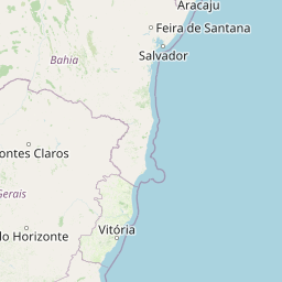
Distance Map Between Itabuna and Obera
Itabuna, Salvador, Brazil ↔ Obera, Posadas, Argentina = 1343 miles = 2162 km.


Leaflet | © OpenStreetMap
How far is it between Itabuna and Oberá
Itabuna is located in Brazil with (-14.7856,-39.2803) coordinates and Obera is located in Argentina with (-27.4871,-55.1199) coordinates. The calculated flying distance from Itabuna to Obera is equal to 1343 miles which is equal to 2162 km.
| City/Place | Latitude and Longitude | GPS Coordinates |
|---|---|---|
| Itabuna | -14.7856, -39.2803 | 14° 47´ 8.0160'' S 39° 16´ 49.0080'' W |
| Obera | -27.4871, -55.1199 | 27° 29´ 13.4160'' S 55° 7´ 11.7840'' W |
Itabuna, Salvador, Brazil
Related Distances from Itabuna
| Cities | Distance |
|---|---|
| Itabuna to Posadas | 2773 km |
| Itabuna to Formosa | 2881 km |
| Itabuna to Goya | 3194 km |
| Itabuna to Resistencia | 3099 km |
| Itabuna to Corrientes | 3080 km |
Obera, Posadas, Argentina
Related Distances to Obera
| Cities | Distance |
|---|---|
| Salvador to Obera | 3066 km |
| Nova Iguacu to Obera | 1630 km |
| Porto Alegre to Obera | 595 km |
| Belo Horizonte to Obera | 1751 km |
| Iacu to Obera | 2796 km |