Distance from Itatiba to La Plata
Distance between Itatiba and La Plata is 1708 kilometers (1061 miles).
Driving distance from Itatiba to La Plata is 2343 kilometers (1456 miles).
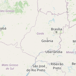
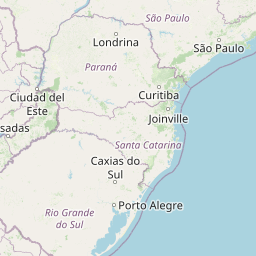
Distance Map Between Itatiba and La Plata
Itatiba, Sao Paulo, Brazil ↔ La Plata, Argentina = 1061 miles = 1708 km.


How far is it between Itatiba and La Plata
Itatiba is located in Brazil with (-23.0058,-46.8389) coordinates and La Plata is located in Argentina with (-34.9215,-57.9545) coordinates. The calculated flying distance from Itatiba to La Plata is equal to 1061 miles which is equal to 1708 km.
If you want to go by car, the driving distance between Itatiba and La Plata is 2342.6 km. If you ride your car with an average speed of 112 kilometers/hour (70 miles/h), travel time will be 20 hours 54 minutes. Please check the avg. speed travel time table on the right for various options.
Difference between fly and go by a car is 635 km.
| City/Place | Latitude and Longitude | GPS Coordinates |
|---|---|---|
| Itatiba | -23.0058, -46.8389 | 23° 0´ 20.9880'' S 46° 50´ 20.0040'' W |
| La Plata | -34.9215, -57.9545 | 34° 55´ 17.2200'' S 57° 57´ 16.3080'' W |
Estimated Travel Time Between Itatiba and La Plata
| Average Speed | Travel Time |
|---|---|
| 30 mph (48 km/h) | 48 hours 48 minutes |
| 40 mph (64 km/h) | 36 hours 36 minutes |
| 50 mph (80 km/h) | 29 hours 16 minutes |
| 60 mph (97 km/h) | 24 hours 09 minutes |
| 70 mph (112 km/h) | 20 hours 54 minutes |
| 75 mph (120 km/h) | 19 hours 31 minutes |
Related Distances from Itatiba
| Cities | Distance |
|---|---|
| Itatiba to Buenos Aires | 2285 km |
| Itatiba to Cordoba | 2415 km |
| Itatiba to Corrientes | 1688 km |
| Itatiba to La Plata | 2343 km |
| Itatiba to Moron | 2292 km |
| Itatiba to Parana | 2040 km |
| Itatiba to Posadas | 1381 km |
| Itatiba to Resistencia | 1707 km |
| Itatiba to Salta | 2517 km |
| Itatiba to San Miguel De Tucuman | 2468 km |
Related Distances to La Plata
| Cities | Distance |
|---|---|
| Divinopolis to La Plata | 2746 km |
| Rio Branco Do Sul to La Plata | 1876 km |
| Rosario Do Sul to La Plata | 979 km |
| Indaiatuba to La Plata | 2361 km |
| Sao Joao De Meriti to La Plata | 2692 km |
| Apucarana to La Plata | 1814 km |
| Prudentopolis to La Plata | 1777 km |
| Lagoa Vermelha to La Plata | 1392 km |
| Arraial Do Cabo to La Plata | 2869 km |
| Vitoria to La Plata | 3154 km |