Distance from Izegem to Sint-Gillis-Waas
Distance between Izegem and Sint-Gillis-Waas is 72 kilometers (45 miles).
Driving distance from Izegem to Sint-Gillis-Waas is 94 kilometers (58 miles).
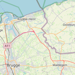
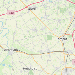
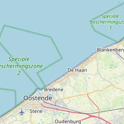
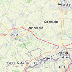
Distance Map Between Izegem and Sint-Gillis-Waas
Izegem, , Belgium ↔ Sint-Gillis-Waas, , Belgium = 45 miles = 72 km.


How far is it between Izegem and Sint-Gillis-Waas
Izegem is located in Belgium with (50.914,3.2138) coordinates and Sint-Gillis-Waas is located in Belgium with (51.2191,4.1237) coordinates. The calculated flying distance from Izegem to Sint-Gillis-Waas is equal to 45 miles which is equal to 72 km.
If you want to go by car, the driving distance between Izegem and Sint-Gillis-Waas is 93.96 km. If you ride your car with an average speed of 112 kilometers/hour (70 miles/h), travel time will be 00 hours 50 minutes. Please check the avg. speed travel time table on the right for various options.
Difference between fly and go by a car is 22 km.
| City/Place | Latitude and Longitude | GPS Coordinates |
|---|---|---|
| Izegem | 50.914, 3.2138 | 50° 54´ 50.2560'' N 3° 12´ 49.6080'' E |
| Sint-Gillis-Waas | 51.2191, 4.1237 | 51° 13´ 8.9040'' N 4° 7´ 25.4640'' E |
Estimated Travel Time Between Izegem and Sint-Gillis-Waas
| Average Speed | Travel Time |
|---|---|
| 30 mph (48 km/h) | 01 hours 57 minutes |
| 40 mph (64 km/h) | 01 hours 28 minutes |
| 50 mph (80 km/h) | 01 hours 10 minutes |
| 60 mph (97 km/h) | 00 hours 58 minutes |
| 70 mph (112 km/h) | 00 hours 50 minutes |
| 75 mph (120 km/h) | 00 hours 46 minutes |
Related Distances from Izegem
| Cities | Distance |
|---|---|
| Izegem to Zaventem | 109 km |
| Izegem to Stekene | 88 km |
| Izegem to Mol | 166 km |
| Izegem to Turnhout | 149 km |
| Izegem to Oostkamp | 37 km |
Related Distances to Sint-Gillis-Waas
| Cities | Distance |
|---|---|
| Geel to Sint Gillis Waas | 72 km |
| Antwerpen to Sint Gillis Waas | 25 km |
| Lier to Sint Gillis Waas | 51 km |
| Diest to Sint Gillis Waas | 88 km |
| Brecht to Sint Gillis Waas | 53 km |