Distance from Izegem to Zemst
Distance between Izegem and Zemst is 88 kilometers (54 miles).
Distance Map Between Izegem and Zemst
Izegem, , Belgium ↔ Zemst, , Belgium = 54 miles = 88 km.


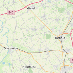

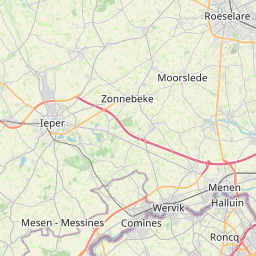


Leaflet | © OpenStreetMap
How far is it between Izegem and Zemst
Izegem is located in Belgium with (50.914,3.2138) coordinates and Zemst is located in Belgium with (50.9832,4.4608) coordinates. The calculated flying distance from Izegem to Zemst is equal to 54 miles which is equal to 88 km.
| City/Place | Latitude and Longitude | GPS Coordinates |
|---|---|---|
| Izegem | 50.914, 3.2138 | 50° 54´ 50.2560'' N 3° 12´ 49.6080'' E |
| Zemst | 50.9832, 4.4608 | 50° 58´ 59.4480'' N 4° 27´ 38.8440'' E |
Izegem, , Belgium
Related Distances from Izegem
| Cities | Distance |
|---|---|
| Izegem to Zaventem | 109 km |
| Izegem to Stekene | 88 km |
| Izegem to Mol | 166 km |
| Izegem to Turnhout | 149 km |
| Izegem to Oostkamp | 37 km |
Zemst, , Belgium
Related Distances to Zemst
| Cities | Distance |
|---|---|
| Turnhout to Zemst | 72 km |
| Overijse to Zemst | 33 km |
| Londerzeel to Zemst | 17 km |
| Temse to Zemst | 30 km |
| Ostend to Zemst | 131 km |