Distance from Jaboatao to Pombos
Distance between Jaboatao and Pombos is 44 kilometers (27 miles).
Driving distance from Jaboatao to Pombos is 58 kilometers (36 miles).
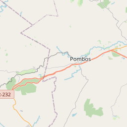
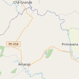
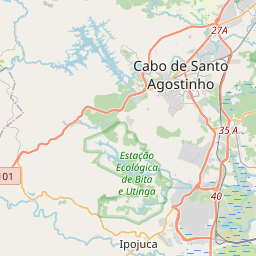
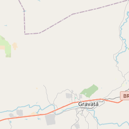
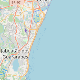
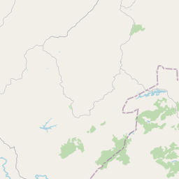
Distance Map Between Jaboatao and Pombos
Jaboatao, Recife, Brazil ↔ Pombos, Recife, Brazil = 27 miles = 44 km.


How far is it between Jaboatão and Pombos
Jaboatao is located in Brazil with (-8.1803,-35.0014) coordinates and Pombos is located in Brazil with (-8.1414,-35.3958) coordinates. The calculated flying distance from Jaboatao to Pombos is equal to 27 miles which is equal to 44 km.
If you want to go by car, the driving distance between Jaboatao and Pombos is 58.46 km. If you ride your car with an average speed of 112 kilometers/hour (70 miles/h), travel time will be 00 hours 31 minutes. Please check the avg. speed travel time table on the right for various options.
Difference between fly and go by a car is 14 km.
| City/Place | Latitude and Longitude | GPS Coordinates |
|---|---|---|
| Jaboatao | -8.1803, -35.0014 | 8° 10´ 49.0080'' S 35° 0´ 5.0040'' W |
| Pombos | -8.1414, -35.3958 | 8° 8´ 29.0040'' S 35° 23´ 44.9880'' W |
Estimated Travel Time Between Jaboatão and Pombos
| Average Speed | Travel Time |
|---|---|
| 30 mph (48 km/h) | 01 hours 13 minutes |
| 40 mph (64 km/h) | 00 hours 54 minutes |
| 50 mph (80 km/h) | 00 hours 43 minutes |
| 60 mph (97 km/h) | 00 hours 36 minutes |
| 70 mph (112 km/h) | 00 hours 31 minutes |
| 75 mph (120 km/h) | 00 hours 29 minutes |
Related Distances from Jaboatao
| Cities | Distance |
|---|---|
| Jaboatao to Sao Lourenco Da Mata | 31 km |
| Jaboatao to Palmares | 102 km |
| Jaboatao to Nazare Da Mata | 71 km |
| Jaboatao to Paulista | 41 km |
| Jaboatao to Tamandare | 88 km |
Related Distances to Pombos
| Cities | Distance |
|---|---|
| Ipojuca to Pombos | 72 km |
| Brejo Da Madre De Deus to Pombos | 140 km |
| Belo Jardim to Pombos | 121 km |
| Afogados Da Ingazeira to Pombos | 317 km |
| Palmares to Pombos | 112 km |