Distance from Jackson to Holt
Distance between Jackson and Holt is 45 kilometers (28 miles).
Driving distance from Jackson to Holt is 51 kilometers (32 miles).
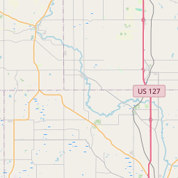
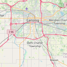
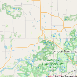
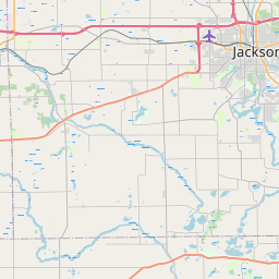
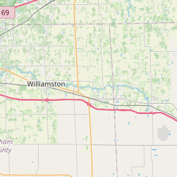
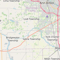
Distance Map Between Jackson and Holt
Jackson, Lansing, United States ↔ Holt, Lansing, United States = 28 miles = 45 km.


How far is it between Jackson and Holt
Jackson is located in United States with (42.2459,-84.4014) coordinates and Holt is located in United States with (42.6406,-84.5153) coordinates. The calculated flying distance from Jackson to Holt is equal to 28 miles which is equal to 45 km.
If you want to go by car, the driving distance between Jackson and Holt is 51.03 km. If you ride your car with an average speed of 112 kilometers/hour (70 miles/h), travel time will be 00 hours 27 minutes. Please check the avg. speed travel time table on the right for various options.
Difference between fly and go by a car is 6 km.
| City/Place | Latitude and Longitude | GPS Coordinates |
|---|---|---|
| Jackson | 42.2459, -84.4014 | 42° 14´ 45.1320'' N 84° 24´ 4.8600'' W |
| Holt | 42.6406, -84.5153 | 42° 38´ 26.1240'' N 84° 30´ 54.9000'' W |
Estimated Travel Time Between Jackson and Holt
| Average Speed | Travel Time |
|---|---|
| 30 mph (48 km/h) | 01 hours 03 minutes |
| 40 mph (64 km/h) | 00 hours 47 minutes |
| 50 mph (80 km/h) | 00 hours 38 minutes |
| 60 mph (97 km/h) | 00 hours 31 minutes |
| 70 mph (112 km/h) | 00 hours 27 minutes |
| 75 mph (120 km/h) | 00 hours 25 minutes |
Related Distances from Jackson
| Cities | Distance |
|---|---|
| Jackson 4 to Battle Creek | 76 km |
| Jackson 4 to East Lansing | 62 km |
| Jackson 4 to Canton | 84 km |
| Jackson 4 to Ann Arbor | 59 km |
| Jackson 4 to Detroit | 125 km |
Related Distances to Holt
| Cities | Distance |
|---|---|
| Huntington 2 to Holtsville | 38 km |
| Saginaw to Holt | 130 km |
| Melville to Holtsville | 35 km |
| New York City to Holtsville | 89 km |
| Ronkonkoma to Holtsville | 7 km |