Distance from Jaigaon to Ghatal
Distance between Jaigaon and Ghatal is 494 kilometers (307 miles).
Driving distance from Jaigaon to Ghatal is 666 kilometers (414 miles).
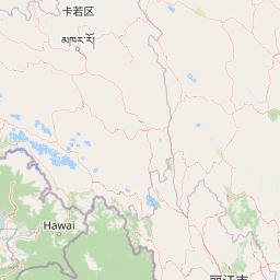
Distance Map Between Jaigaon and Ghatal
Jaigaon, Kolkata, India ↔ Ghatal, Kolkata, India = 307 miles = 494 km.


How far is it between Jaigaon and Ghātāl
Jaigaon is located in India with (26.8477,89.3756) coordinates and Ghatal is located in India with (22.6624,87.734) coordinates. The calculated flying distance from Jaigaon to Ghatal is equal to 307 miles which is equal to 494 km.
If you want to go by car, the driving distance between Jaigaon and Ghatal is 666.14 km. If you ride your car with an average speed of 112 kilometers/hour (70 miles/h), travel time will be 05 hours 56 minutes. Please check the avg. speed travel time table on the right for various options.
Difference between fly and go by a car is 172 km.
| City/Place | Latitude and Longitude | GPS Coordinates |
|---|---|---|
| Jaigaon | 26.8477, 89.3756 | 26° 50´ 51.5760'' N 89° 22´ 32.0880'' E |
| Ghatal | 22.6624, 87.734 | 22° 39´ 44.7840'' N 87° 44´ 2.3640'' E |
Estimated Travel Time Between Jaigaon and Ghātāl
| Average Speed | Travel Time |
|---|---|
| 30 mph (48 km/h) | 13 hours 52 minutes |
| 40 mph (64 km/h) | 10 hours 24 minutes |
| 50 mph (80 km/h) | 08 hours 19 minutes |
| 60 mph (97 km/h) | 06 hours 52 minutes |
| 70 mph (112 km/h) | 05 hours 56 minutes |
| 75 mph (120 km/h) | 05 hours 33 minutes |
Related Distances from Jaigaon
| Cities | Distance |
|---|---|
| Jaigaon to Hasimara | 14 km |
| Jaigaon to Birpara | 43 km |
| Jaigaon to Falakata | 51 km |
| Jaigaon to Dinhata | 96 km |
| Jaigaon to Tufanganj | 85 km |
Related Distances to Ghatal
| Cities | Distance |
|---|---|
| Arambagh to Ghatal | 36 km |
| Chandrakona to Ghatal | 26 km |
| Barddhaman to Ghatal | 83 km |
| Haldia to Ghatal | 99 km |
| Bankura to Ghatal | 109 km |