Distance from Jalaun to Orai
Distance between Jalaun and Orai is 21 kilometers (13 miles).
Driving distance from Jalaun to Orai is 22 kilometers (13 miles).
Distance Map Between Jalaun and Orai
Jalaun, Lucknow, India ↔ Orai, Lucknow, India = 13 miles = 21 km.
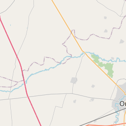
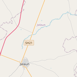

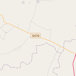
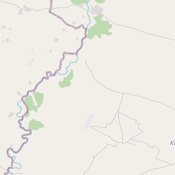
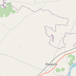

Leaflet | © OpenStreetMap
How far is it between Jālaun and Orai
Jalaun is located in India with (26.1451,79.3366) coordinates and Orai is located in India with (25.9907,79.4532) coordinates. The calculated flying distance from Jalaun to Orai is equal to 13 miles which is equal to 21 km.
If you want to go by car, the driving distance between Jalaun and Orai is 21.64 km. If you ride your car with an average speed of 112 kilometers/hour (70 miles/h), travel time will be 00 hours 11 minutes. Please check the avg. speed travel time table on the right for various options.
Difference between fly and go by a car is 1 km.
| City/Place | Latitude and Longitude | GPS Coordinates |
|---|---|---|
| Jalaun | 26.1451, 79.3366 | 26° 8´ 42.3600'' N 79° 20´ 11.7600'' E |
| Orai | 25.9907, 79.4532 | 25° 59´ 26.6640'' N 79° 27´ 11.3400'' E |
Estimated Travel Time Between Jālaun and Orai
| Average Speed | Travel Time |
|---|---|
| 30 mph (48 km/h) | 00 hours 27 minutes |
| 40 mph (64 km/h) | 00 hours 20 minutes |
| 50 mph (80 km/h) | 00 hours 16 minutes |
| 60 mph (97 km/h) | 00 hours 13 minutes |
| 70 mph (112 km/h) | 00 hours 11 minutes |
| 75 mph (120 km/h) | 00 hours 10 minutes |
Jalaun, Lucknow, India
Related Distances from Jalaun
| Cities | Distance |
|---|---|
| Jalaun to Konch | 27 km |
| Jalaun to Orai | 22 km |
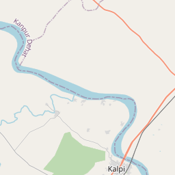
| Jalaun to Kalpi | 52 km |
| Jalaun to Mahoba | 143 km |
| Jalaun to Rath | 77 km |
Orai, Lucknow, India
Related Distances to Orai
| Cities | Distance |
|---|---|
| Auraiya to Orai | 64 km |
| Konch to Orai | 31 km |
| Gursarai to Orai | 54 km |
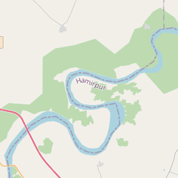
| Hamirpur to Orai | 82 km |
| Kalpi to Orai | 33 km |