Distance from Jalor to Kota
Distance between Jalor and Kota is 325 kilometers (202 miles).
Driving distance from Jalor to Kota is 475 kilometers (295 miles).
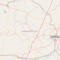
Distance Map Between Jalor and Kota
Jalor, Jaipur, India ↔ Kota, Jaipur, India = 202 miles = 325 km.


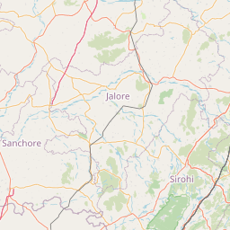


How far is it between Jalor and Kota
Jalor is located in India with (25.3456,72.6156) coordinates and Kota is located in India with (25.1825,75.8391) coordinates. The calculated flying distance from Jalor to Kota is equal to 202 miles which is equal to 325 km.
If you want to go by car, the driving distance between Jalor and Kota is 474.86 km. If you ride your car with an average speed of 112 kilometers/hour (70 miles/h), travel time will be 04 hours 14 minutes. Please check the avg. speed travel time table on the right for various options.
Difference between fly and go by a car is 150 km.
| City/Place | Latitude and Longitude | GPS Coordinates |
|---|---|---|
| Jalor | 25.3456, 72.6156 | 25° 20´ 44.0880'' N 72° 36´ 56.1240'' E |
| Kota | 25.1825, 75.8391 | 25° 10´ 57.1440'' N 75° 50´ 20.6520'' E |
Estimated Travel Time Between Jalor and Kota
| Average Speed | Travel Time |
|---|---|
| 30 mph (48 km/h) | 09 hours 53 minutes |
| 40 mph (64 km/h) | 07 hours 25 minutes |
| 50 mph (80 km/h) | 05 hours 56 minutes |
| 60 mph (97 km/h) | 04 hours 53 minutes |
| 70 mph (112 km/h) | 04 hours 14 minutes |
| 75 mph (120 km/h) | 03 hours 57 minutes |
Related Distances from Jalor
| Cities | Distance |
|---|---|
| Jalor to Sambhar | 370 km |
| Jalor to Neem Ka Thana | 531 km |
| Jalor to Sikar | 456 km |
| Jalor to Udaipur | 206 km |
| Jalor to Pratapgarh | 369 km |
Related Distances to Kota
| Cities | Distance |
|---|---|
| Anta to Kota | 52 km |
| Kekri to Kota | 129 km |
| Keshorai Patan to Kota | 22 km |
| Begun to Kota | 120 km |
| Kapren to Kota | 41 km |