Distance from Jambusar to Sihor
Distance between Jambusar and Sihor is 95 kilometers (59 miles).
Driving distance from Jambusar to Sihor is 229 kilometers (142 miles).
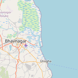
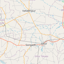
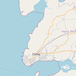
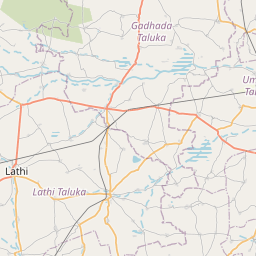
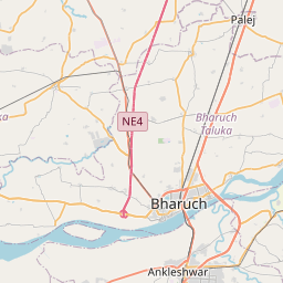
Distance Map Between Jambusar and Sihor
Jambusar, Ghandinagar, India ↔ Sihor, Ghandinagar, India = 59 miles = 95 km.


How far is it between Jambusar and Sihor
Jambusar is located in India with (22.0524,72.8007) coordinates and Sihor is located in India with (21.7113,71.9618) coordinates. The calculated flying distance from Jambusar to Sihor is equal to 59 miles which is equal to 95 km.
If you want to go by car, the driving distance between Jambusar and Sihor is 229.15 km. If you ride your car with an average speed of 112 kilometers/hour (70 miles/h), travel time will be 02 hours 02 minutes. Please check the avg. speed travel time table on the right for various options.
Difference between fly and go by a car is 134 km.
| City/Place | Latitude and Longitude | GPS Coordinates |
|---|---|---|
| Jambusar | 22.0524, 72.8007 | 22° 3´ 8.4960'' N 72° 48´ 2.6640'' E |
| Sihor | 21.7113, 71.9618 | 21° 42´ 40.8240'' N 71° 57´ 42.4440'' E |
Estimated Travel Time Between Jambusar and Sihor
| Average Speed | Travel Time |
|---|---|
| 30 mph (48 km/h) | 04 hours 46 minutes |
| 40 mph (64 km/h) | 03 hours 34 minutes |
| 50 mph (80 km/h) | 02 hours 51 minutes |
| 60 mph (97 km/h) | 02 hours 21 minutes |
| 70 mph (112 km/h) | 02 hours 02 minutes |
| 75 mph (120 km/h) | 01 hours 54 minutes |
Related Distances from Jambusar
| Cities | Distance |
|---|---|
| Jambusar to Vadodara | 54 km |
| Jambusar to Padra | 39 km |
| Jambusar to Khambhat | 93 km |
| Jambusar to Kosamba | 96 km |
| Jambusar to Surat | 122 km |
Related Distances to Sihor
| Cities | Distance |
|---|---|
| Bhavnagar to Sihor | 24 km |
| Jabalpur to Sihora | 42 km |
| Sagar to Sihora | 170 km |
| Chhindwara to Sihora | 251 km |
| Rajkot to Sihor | 152 km |