Distance from Jember to Kedungwaru
Distance between Jember and Kedungwaru is 197 kilometers (122 miles).
Driving distance from Jember to Kedungwaru is 258 kilometers (160 miles).
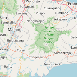
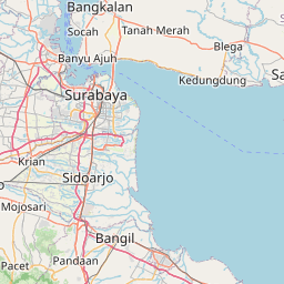
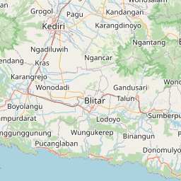
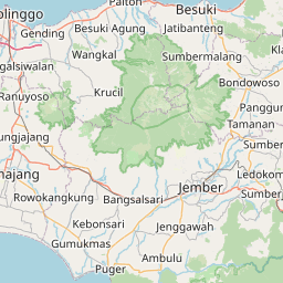
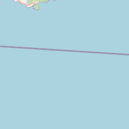
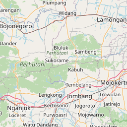
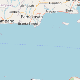
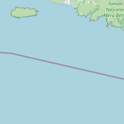
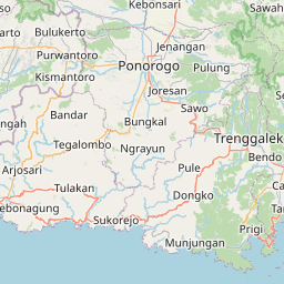
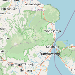
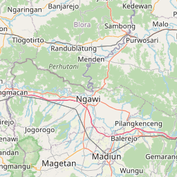
Distance Map Between Jember and Kedungwaru
Jember, Surabaya, Indonesia ↔ Kedungwaru, Surabaya, Indonesia = 122 miles = 197 km.

How far is it between Jember and Kedungwaru
Jember is located in Indonesia with (-8.1721,113.6995) coordinates and Kedungwaru is located in Indonesia with (-8.0667,111.9167) coordinates. The calculated flying distance from Jember to Kedungwaru is equal to 122 miles which is equal to 197 km.
If you want to go by car, the driving distance between Jember and Kedungwaru is 257.92 km. If you ride your car with an average speed of 112 kilometers/hour (70 miles/h), travel time will be 02 hours 18 minutes. Please check the avg. speed travel time table on the right for various options.
Difference between fly and go by a car is 61 km.
| City/Place | Latitude and Longitude | GPS Coordinates |
|---|---|---|
| Jember | -8.1721, 113.6995 | 8° 10´ 19.5960'' S 113° 41´ 58.3080'' E |
| Kedungwaru | -8.0667, 111.9167 | 8° 4´ 0.0120'' S 111° 55´ 0.0120'' E |
Estimated Travel Time Between Jember and Kedungwaru
| Average Speed | Travel Time |
|---|---|
| 30 mph (48 km/h) | 05 hours 22 minutes |
| 40 mph (64 km/h) | 04 hours 01 minutes |
| 50 mph (80 km/h) | 03 hours 13 minutes |
| 60 mph (97 km/h) | 02 hours 39 minutes |
| 70 mph (112 km/h) | 02 hours 18 minutes |
| 75 mph (120 km/h) | 02 hours 08 minutes |
Related Distances from Jember
| Cities | Distance |
|---|---|
| Jember to Kediri | 266 km |
| Jember to Malang | 186 km |
| Jember to Ponorogo | 344 km |
| Jember to Jombang | 224 km |
| Jember to Lumajang | 65 km |
Related Distances to Kedungwaru
| Cities | Distance |
|---|---|
| Genteng to Kedungwaru | 325 km |
| Blitar to Kedungwaru | 35 km |
| Kediri to Kedungwaru | 33 km |
| Jombang to Kedungwaru | 77 km |
| Bojonegoro to Kedungwaru | 129 km |