Distance from Jeremoabo to Una
Distance between Jeremoabo and Una is 584 kilometers (363 miles).
Driving distance from Jeremoabo to Una is 761 kilometers (473 miles).
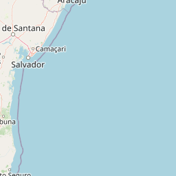
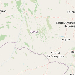
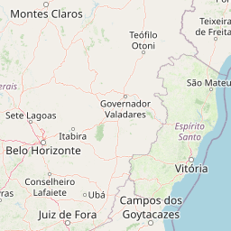
Distance Map Between Jeremoabo and Una
Jeremoabo, Salvador, Brazil ↔ Una, Salvador, Brazil = 363 miles = 584 km.


How far is it between Jeremoabo and Una
Jeremoabo is located in Brazil with (-10.075,-38.4808) coordinates and Una is located in Brazil with (-15.2933,-39.0753) coordinates. The calculated flying distance from Jeremoabo to Una is equal to 363 miles which is equal to 584 km.
If you want to go by car, the driving distance between Jeremoabo and Una is 761.33 km. If you ride your car with an average speed of 112 kilometers/hour (70 miles/h), travel time will be 06 hours 47 minutes. Please check the avg. speed travel time table on the right for various options.
Difference between fly and go by a car is 177 km.
| City/Place | Latitude and Longitude | GPS Coordinates |
|---|---|---|
| Jeremoabo | -10.075, -38.4808 | 10° 4´ 30.0000'' S 38° 28´ 50.9880'' W |
| Una | -15.2933, -39.0753 | 15° 17´ 35.9880'' S 39° 4´ 31.0080'' W |
Estimated Travel Time Between Jeremoabo and Una
| Average Speed | Travel Time |
|---|---|
| 30 mph (48 km/h) | 15 hours 51 minutes |
| 40 mph (64 km/h) | 11 hours 53 minutes |
| 50 mph (80 km/h) | 09 hours 30 minutes |
| 60 mph (97 km/h) | 07 hours 50 minutes |
| 70 mph (112 km/h) | 06 hours 47 minutes |
| 75 mph (120 km/h) | 06 hours 20 minutes |
Related Distances from Jeremoabo
| Cities | Distance |
|---|---|
| Jeremoabo to Ribeira Do Pombal | 118 km |
| Jeremoabo to Santo Amaro | 365 km |
| Jeremoabo to Tucano | 147 km |
| Jeremoabo to Vitoria Da Conquista | 702 km |
| Jeremoabo to Santa Maria Da Vitoria | 1068 km |
Related Distances to Una
| Cities | Distance |
|---|---|
| Tapiramuta to Una 2 | 596 km |
| Irece to Una 2 | 730 km |
| Porto Seguro to Una 2 | 259 km |
| Serrinha to Una 2 | 502 km |
| Amargosa to Una 2 | 330 km |