Distance from Jijel to Mascara
Distance between Jijel and Mascara is 530 kilometers (329 miles).
Driving distance from Jijel to Mascara is 655 kilometers (407 miles).
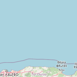
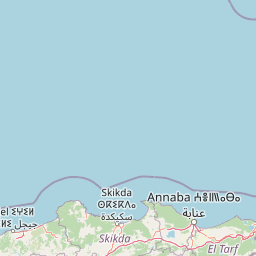
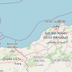
Distance Map Between Jijel and Mascara
Jijel, Algeria ↔ Mascara, Algeria = 329 miles = 530 km.


How far is it between Jijel and Mascara
Jijel is located in Algeria with (36.8206,5.7667) coordinates and Mascara is located in Algeria with (35.3966,0.1403) coordinates. The calculated flying distance from Jijel to Mascara is equal to 329 miles which is equal to 530 km.
If you want to go by car, the driving distance between Jijel and Mascara is 654.88 km. If you ride your car with an average speed of 112 kilometers/hour (70 miles/h), travel time will be 05 hours 50 minutes. Please check the avg. speed travel time table on the right for various options.
Difference between fly and go by a car is 125 km.
| City/Place | Latitude and Longitude | GPS Coordinates |
|---|---|---|
| Jijel | 36.8206, 5.7667 | 36° 49´ 13.9800'' N 5° 46´ 0.1560'' E |
| Mascara | 35.3966, 0.1403 | 35° 23´ 47.9040'' N 0° 8´ 24.9720'' E |
Estimated Travel Time Between Jijel and Mascara
| Average Speed | Travel Time |
|---|---|
| 30 mph (48 km/h) | 13 hours 38 minutes |
| 40 mph (64 km/h) | 10 hours 13 minutes |
| 50 mph (80 km/h) | 08 hours 11 minutes |
| 60 mph (97 km/h) | 06 hours 45 minutes |
| 70 mph (112 km/h) | 05 hours 50 minutes |
| 75 mph (120 km/h) | 05 hours 27 minutes |
Related Distances from Jijel
| Cities | Distance |
|---|---|
| Jijel to Mila | 99 km |
| Jijel to Skikda | 147 km |
| Jijel to Ouargla | 727 km |
| Jijel to Tiaret | 565 km |
| Jijel to Setif | 134 km |
Related Distances to Mascara
| Cities | Distance |
|---|---|
| Ain Temouchent to Mascara | 151 km |
| Ain Defla to Mascara | 221 km |
| Algiers to Mascara | 378 km |
| Ain Sefra to Mascara | 334 km |
| Bouira to Mascara | 447 km |