Distance from Jijel to Setif
Distance between Jijel and Setif is 77 kilometers (48 miles).
Driving distance from Jijel to Setif is 134 kilometers (83 miles).
Distance Map Between Jijel and Setif
Jijel, Algeria ↔ Setif, Algeria = 48 miles = 77 km.

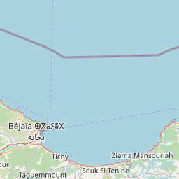
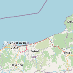
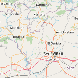
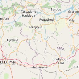
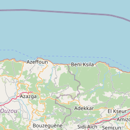

Leaflet | © OpenStreetMap
How far is it between Jijel and Sétif
Jijel is located in Algeria with (36.8206,5.7667) coordinates and Setif is located in Algeria with (36.1911,5.4137) coordinates. The calculated flying distance from Jijel to Setif is equal to 48 miles which is equal to 77 km.
If you want to go by car, the driving distance between Jijel and Setif is 133.67 km. If you ride your car with an average speed of 112 kilometers/hour (70 miles/h), travel time will be 01 hours 11 minutes. Please check the avg. speed travel time table on the right for various options.
Difference between fly and go by a car is 57 km.
| City/Place | Latitude and Longitude | GPS Coordinates |
|---|---|---|
| Jijel | 36.8206, 5.7667 | 36° 49´ 13.9800'' N 5° 46´ 0.1560'' E |
| Setif | 36.1911, 5.4137 | 36° 11´ 28.0320'' N 5° 24´ 49.4280'' E |
Estimated Travel Time Between Jijel and Sétif
| Average Speed | Travel Time |
|---|---|
| 30 mph (48 km/h) | 02 hours 47 minutes |
| 40 mph (64 km/h) | 02 hours 05 minutes |
| 50 mph (80 km/h) | 01 hours 40 minutes |
| 60 mph (97 km/h) | 01 hours 22 minutes |
| 70 mph (112 km/h) | 01 hours 11 minutes |
| 75 mph (120 km/h) | 01 hours 06 minutes |
Jijel, Algeria
Related Distances from Jijel
| Cities | Distance |
|---|---|
| Jijel to Mila | 99 km |
| Jijel to Skikda | 147 km |
| Jijel to Ouargla | 727 km |
| Jijel to Tiaret | 565 km |
| Jijel to Setif | 134 km |
Setif, Algeria
Related Distances to Setif
| Cities | Distance |
|---|---|
| Constantine to Setif | 127 km |
| Ain Defla to Setif | 389 km |
| Algiers to Setif | 269 km |
| Bejaia to Setif | 121 km |
| Ouargla to Setif | 582 km |