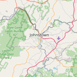
Distance from Johnstown to Baldwin
Distance between Johnstown and Baldwin is 90 kilometers (56 miles).
Driving distance from Johnstown to Baldwin is 117 kilometers (73 miles).
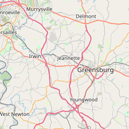
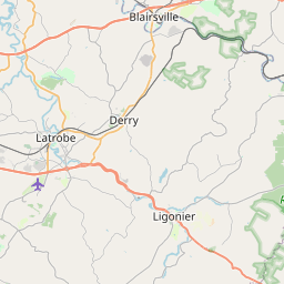
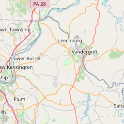
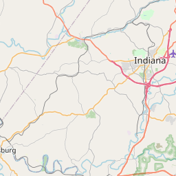
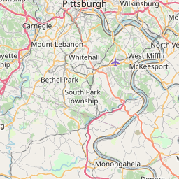
Distance Map Between Johnstown and Baldwin
Johnstown, Harrisburg, United States ↔ Baldwin, Harrisburg, United States = 56 miles = 90 km.


How far is it between Johnstown and Baldwin
Johnstown is located in United States with (40.3267,-78.922) coordinates and Baldwin is located in United States with (40.3381,-79.9789) coordinates. The calculated flying distance from Johnstown to Baldwin is equal to 56 miles which is equal to 90 km.
If you want to go by car, the driving distance between Johnstown and Baldwin is 116.95 km. If you ride your car with an average speed of 112 kilometers/hour (70 miles/h), travel time will be 01 hours 02 minutes. Please check the avg. speed travel time table on the right for various options.
Difference between fly and go by a car is 27 km.
| City/Place | Latitude and Longitude | GPS Coordinates |
|---|---|---|
| Johnstown | 40.3267, -78.922 | 40° 19´ 36.2640'' N 78° 55´ 19.0920'' W |
| Baldwin | 40.3381, -79.9789 | 40° 20´ 17.2680'' N 79° 58´ 44.1840'' W |
Estimated Travel Time Between Johnstown and Baldwin
| Average Speed | Travel Time |
|---|---|
| 30 mph (48 km/h) | 02 hours 26 minutes |
| 40 mph (64 km/h) | 01 hours 49 minutes |
| 50 mph (80 km/h) | 01 hours 27 minutes |
| 60 mph (97 km/h) | 01 hours 12 minutes |
| 70 mph (112 km/h) | 01 hours 02 minutes |
| 75 mph (120 km/h) | 00 hours 58 minutes |
Related Distances from Johnstown
| Cities | Distance |
|---|---|
| Johnstown to Altoona | 70 km |
| Johnstown to Philadelphia | 385 km |
| Johnstown to Erie | 284 km |
| Johnstown to West Chester | 342 km |
| Johnstown to Carlisle 2 | 199 km |
Related Distances to Baldwin
| Cities | Distance |
|---|---|
| Mckeesport to Baldwin 2 | 13 km |
| Cranberry Township to Baldwin 2 | 46 km |
| Plum to Baldwin 2 | 40 km |
| Mount Lebanon to Baldwin 2 | 10 km |
| Pittsburgh to Baldwin 2 | 13 km |